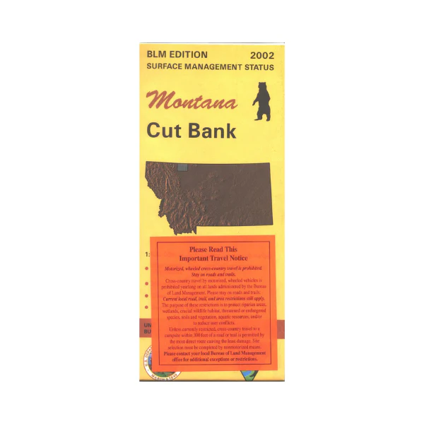
Map: Cut Bank MT - MT1052S
Map covers mostly Blackfeet Indian Reservation Land west of Cut Bank, and some other lands east of Cut Bank to Aloe Lake. Official Bureau of Land Management metric topographic map @1:100,000 scale (roughly 3/4"`1 mile), color-coded to show surface management, i.e. agency vs. private or tribal ownership. This map shows color coded public and private
ownership, roads, water features, points of interest and the township
and range lines. Use this map for hunting Deer, Elk, and Moutain Lion in Units 403, and 406. 2002.
Product Information
Product Information
Shipping & Returns
Shipping & Returns
Description
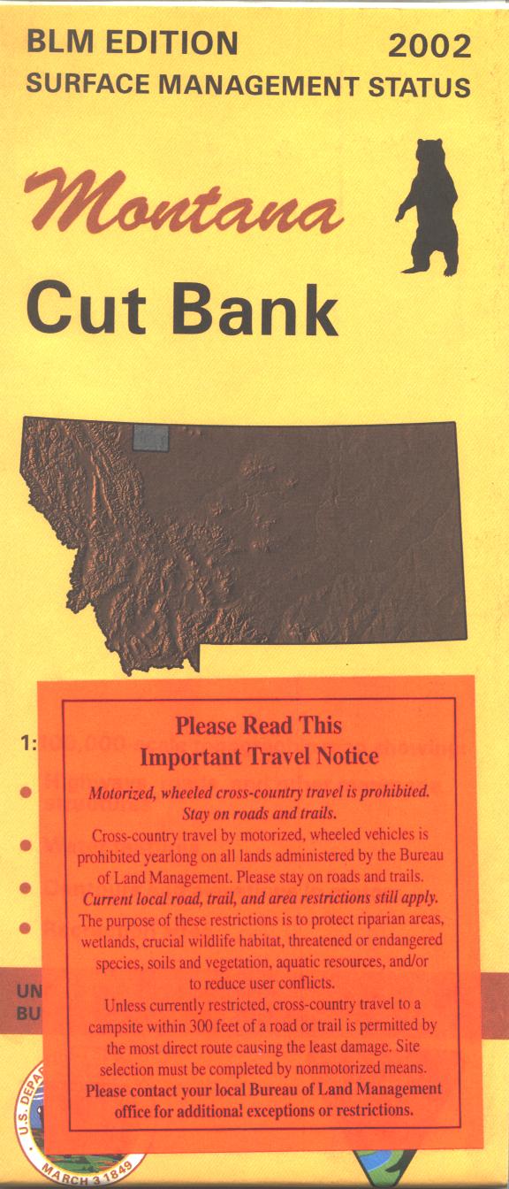
Map covers mostly Blackfeet Indian Reservation Land west of Cut Bank, and some other lands east of Cut Bank to Aloe Lake. Official Bureau of Land Management metric topographic map @1:100,000 scale (roughly 3/4"`1 mile), color-coded to show surface management, i.e. agency vs. private or tribal ownership. This map shows color coded public and private
ownership, roads, water features, points of interest and the township
and range lines. Use this map for hunting Deer, Elk, and Moutain Lion in Units 403, and 406. 2002.


