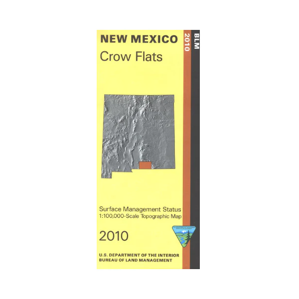
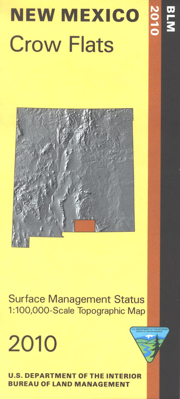
Map: Crow Flats NM - NM021S
Official Bureau of Land Management topographic maps @1:100,000 metric scale (roughly 3/4" = 1 mile), are color-coded to show federally-managed public lands; plus state, private, or tribal lands, military withdrawals, roads and trails, lakes, rivers and streams, and developed recreation areas. It is a great map to have while stalking game in Hunting Units 28, 29 and 30, wildlife watching, desert hiking, backpacking, mountain biking, camping, or OHV and ATV riding. Includes a section of the Guadalupe Mountains. Includes roads and lands in Otero County, Lincoln National Forest. 2010
Product Information
Product Information
Shipping & Returns
Shipping & Returns
Description
Official Bureau of Land Management topographic maps @1:100,000 metric scale (roughly 3/4" = 1 mile), are color-coded to show federally-managed public lands; plus state, private, or tribal lands, military withdrawals, roads and trails, lakes, rivers and streams, and developed recreation areas. It is a great map to have while stalking game in Hunting Units 28, 29 and 30, wildlife watching, desert hiking, backpacking, mountain biking, camping, or OHV and ATV riding. Includes a section of the Guadalupe Mountains. Includes roads and lands in Otero County, Lincoln National Forest. 2010


