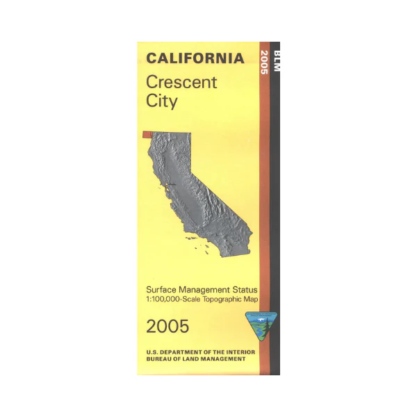
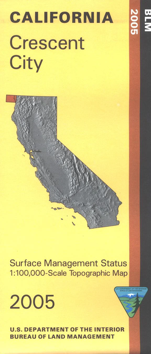
Map: Crescent City CA - CA090S
Map shows lands on the coast from the Oregon border south to Klamath River, then east from the coast into Sixmile Rivers National Forest and Redwoods National Park/Jedediah Smith Redwoods State Park. From Crescent City it's a short distance to scenic driving, camping, hiking, mountain biking, beach walking, fishing, boating, or swimming. See the majestic redwood trees, or enjoy the ocean views. Official Bureau of Land Management metric topographic map @1:100,000 scale (roughly 3/4"=1 mile), color-coded to show surface management, i.e. agency vs. private or tribal ownership.
This map shows roads, water features, recreation sites, points of interest, and the township and range lines. Maps show trails, roads, and developed recreation areas such as campgrounds. Use this map for Deer Hunting in Unit B1 and for Elk Hunting in Northwestern Zone. 2005
Original: $8.99
-65%$8.99
$3.15Product Information
Product Information
Shipping & Returns
Shipping & Returns
Description
Map shows lands on the coast from the Oregon border south to Klamath River, then east from the coast into Sixmile Rivers National Forest and Redwoods National Park/Jedediah Smith Redwoods State Park. From Crescent City it's a short distance to scenic driving, camping, hiking, mountain biking, beach walking, fishing, boating, or swimming. See the majestic redwood trees, or enjoy the ocean views. Official Bureau of Land Management metric topographic map @1:100,000 scale (roughly 3/4"=1 mile), color-coded to show surface management, i.e. agency vs. private or tribal ownership.
This map shows roads, water features, recreation sites, points of interest, and the township and range lines. Maps show trails, roads, and developed recreation areas such as campgrounds. Use this map for Deer Hunting in Unit B1 and for Elk Hunting in Northwestern Zone. 2005


