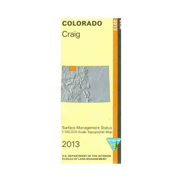
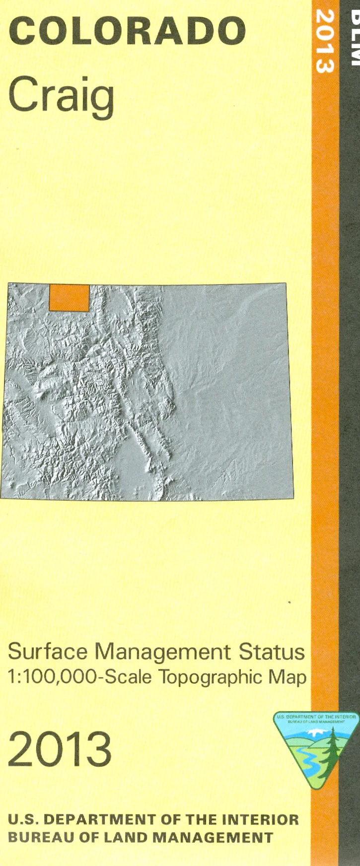
Map: Craig CO - CO114S
The BLM quadrant maps are scaled at 1:100,000, and cover an area of about 30 x 50 miles. Visit and explore the Elkhead Mountains in Routt National Forest. Map is useful for OHV use, and Colorado Hunting Units 3,4,5,214, 301, and 441. Differentiates between public and private land, and also among the various agencies who manage the public lands. 2013
$8.99
Map: Craig CO - CO114S—
$8.99
Product Information
Product Information
Shipping & Returns
Shipping & Returns
Description
The BLM quadrant maps are scaled at 1:100,000, and cover an area of about 30 x 50 miles. Visit and explore the Elkhead Mountains in Routt National Forest. Map is useful for OHV use, and Colorado Hunting Units 3,4,5,214, 301, and 441. Differentiates between public and private land, and also among the various agencies who manage the public lands. 2013


