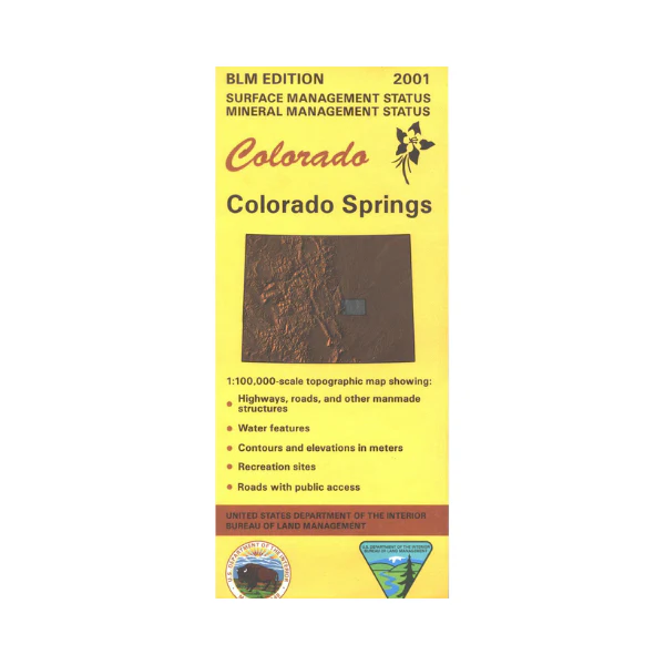
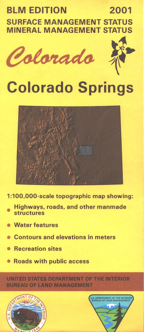
Map: Colorado Springs CO - CO112S
The BLM quadrant maps are scaled at 1:100,000, and cover an area of about 30 x 50 miles. Enjoy scenic driving, hiking, backpacking, and a train ride at spectacular Pikes Peak near Colorado Springs, and in Pike National Forest. While in Colorado Springs area explore the Garden of the Gods Park, Bear Creek Canyon Park, and the Air Force Academy. Map is useful for OHV use, and Colorado Hunting Units 59, 110, 118, 512, and 511. Differentiates between public and private land, and also among the various agencies who manage the public lands. Includes mineral management status. 2017
Original: $8.99
-65%$8.99
$3.15Product Information
Product Information
Shipping & Returns
Shipping & Returns
Description
The BLM quadrant maps are scaled at 1:100,000, and cover an area of about 30 x 50 miles. Enjoy scenic driving, hiking, backpacking, and a train ride at spectacular Pikes Peak near Colorado Springs, and in Pike National Forest. While in Colorado Springs area explore the Garden of the Gods Park, Bear Creek Canyon Park, and the Air Force Academy. Map is useful for OHV use, and Colorado Hunting Units 59, 110, 118, 512, and 511. Differentiates between public and private land, and also among the various agencies who manage the public lands. Includes mineral management status. 2017


