Map: Coconino National Forest AZ
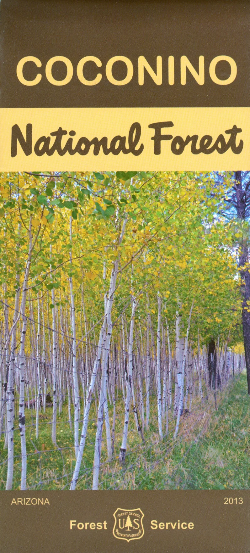
Official Forest Service map@1/2"=1 mile scale(no topographic detail) shows all lands, roads, lakes, trails, campgrounds and other recreation sites in the Coconino National Forest around Flagstaff and Sedona. Covers several wilderness areas including Munds Mountain, Kachina Peaks, Kendrick Mountain, Strawberry Crater, and Red Rock Secret. It is the perfect map for hunting, fishing, camping, scenic driving, horseback riding and backpacking both in the forest and wilderness. Map is useful for OHV use, and AZ hunting Units 5BN, 5BS, 6A, 6B, 7E, and 11M. 2013, Reprinted 2019, 2022
Product Information
Product Information
Shipping & Returns
Shipping & Returns
Description
Official Forest Service map@1/2"=1 mile scale(no topographic detail) shows all lands, roads, lakes, trails, campgrounds and other recreation sites in the Coconino National Forest around Flagstaff and Sedona. Covers several wilderness areas including Munds Mountain, Kachina Peaks, Kendrick Mountain, Strawberry Crater, and Red Rock Secret. It is the perfect map for hunting, fishing, camping, scenic driving, horseback riding and backpacking both in the forest and wilderness. Map is useful for OHV use, and AZ hunting Units 5BN, 5BS, 6A, 6B, 7E, and 11M. 2013, Reprinted 2019, 2022