Map: Cleveland National Forest CA
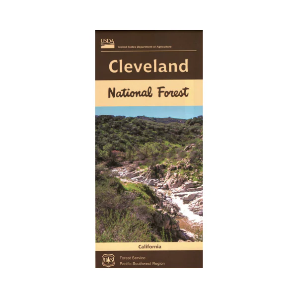
From El Cajon travel east or north to explore sections of Cleveland National Forest with opportunities for scenic driving on Sunrise National Scenic Byway, scenic viewpoints, camping, hiking, and OHV riding at Corral Canyon OHV Area. Access the northern section from Lake Elsinore, travel west into the forest for camping, hiking, mountain biking, and Wildomar OHV Area. National Forest maps include topographic information(no contour lines), hiking trails, service roads, water features, campgrounds, other recreation sites, points of interest, regulations, and contact information if you need permits or additional information before you head for the great outdoors. The map includes information about motorized off-road travel (ATVs, motorcycles, 4WD's, etc.) Map is useful for Deer Hunting in Unit D16. On synthetic tear-proof paper. 2018
Original: $19.99
-65%$19.99
$7.00Product Information
Product Information
Shipping & Returns
Shipping & Returns
Description
From El Cajon travel east or north to explore sections of Cleveland National Forest with opportunities for scenic driving on Sunrise National Scenic Byway, scenic viewpoints, camping, hiking, and OHV riding at Corral Canyon OHV Area. Access the northern section from Lake Elsinore, travel west into the forest for camping, hiking, mountain biking, and Wildomar OHV Area. National Forest maps include topographic information(no contour lines), hiking trails, service roads, water features, campgrounds, other recreation sites, points of interest, regulations, and contact information if you need permits or additional information before you head for the great outdoors. The map includes information about motorized off-road travel (ATVs, motorcycles, 4WD's, etc.) Map is useful for Deer Hunting in Unit D16. On synthetic tear-proof paper. 2018


