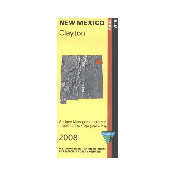
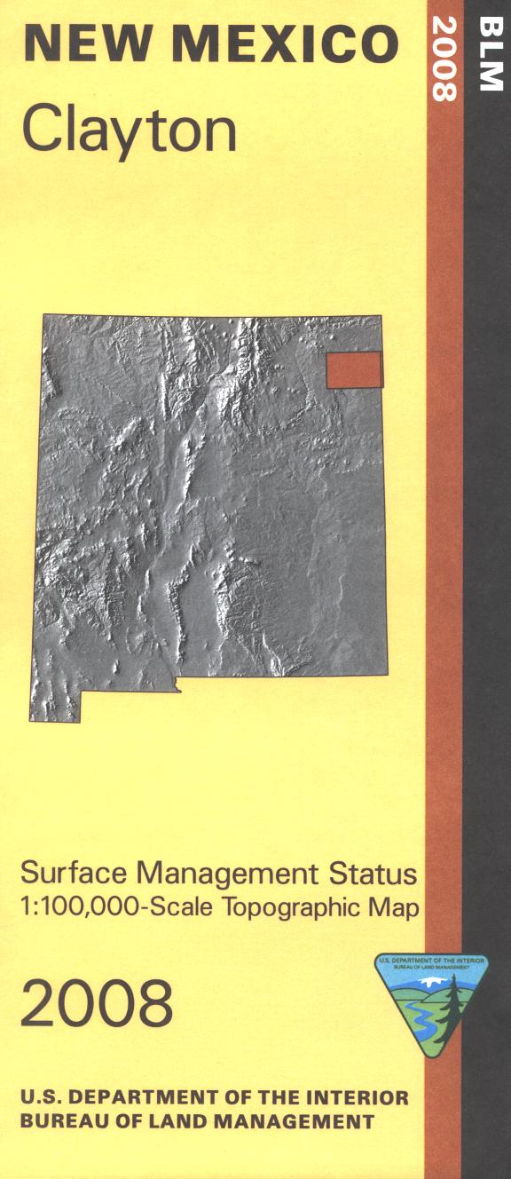
Map: Clayton NM - NM016S
Official Bureau of Land Management topographic maps @1:100,000 metric scale (roughly 3/4" = 1 mile), are color-coded to show federally-managed public lands; plus state, private, or tribal lands, military withdrawals, roads and trails, lakes, rivers and streams, and developed recreation areas. It is a great map to have while stalking game in Hunting Units 41, 56 and 58, wildlife watching or OHV and ATV riding. Includes roads and lands in Union and Harding Counties, also sections of Kiowa National Grassland. 2008
Product Information
Product Information
Shipping & Returns
Shipping & Returns
Description
Official Bureau of Land Management topographic maps @1:100,000 metric scale (roughly 3/4" = 1 mile), are color-coded to show federally-managed public lands; plus state, private, or tribal lands, military withdrawals, roads and trails, lakes, rivers and streams, and developed recreation areas. It is a great map to have while stalking game in Hunting Units 41, 56 and 58, wildlife watching or OHV and ATV riding. Includes roads and lands in Union and Harding Counties, also sections of Kiowa National Grassland. 2008


