Map: Chugwater WY - WY011S
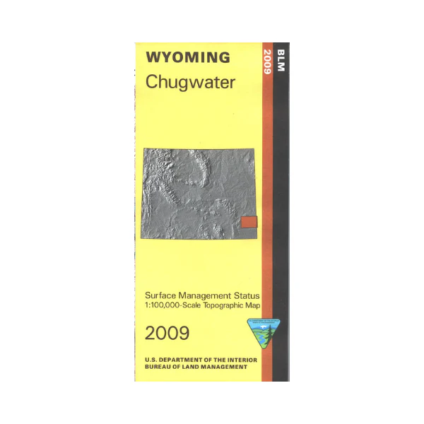
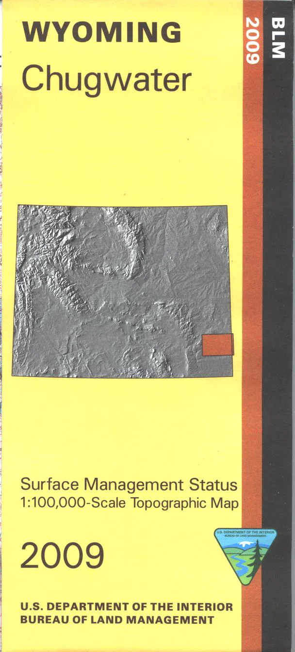
From Chugwater map shows mostly private land and scattered state lands to the east. Camping, boating, and fishing at Hawk Springs Reservoir, and Springer Bump Sullivan Wildlife Habitat Management Area. Camping, hiking, and fishing at Table Mountain Wildlife Habitat Management Area. The BLM quadrant maps are scaled at 1:100,000, and cover an area of about 30 x 50 miles. Official Bureau of Land Management metric topographic map @1:100,000 scale (roughly 3/4"`1 mile), color-coded to show surface management, i.e. agency vs. private or tribal ownership. Map shows color coded public and private ownership, roads, water features, recreation sites, points of interest, and the township and range lines. Use the map for OHV use, and WY Deer Hunting Units 15 and 59; WY Elk HU 3 and 6; WY Antelope 34, and 38. 2009
Product Information
Product Information
Shipping & Returns
Shipping & Returns
Description
From Chugwater map shows mostly private land and scattered state lands to the east. Camping, boating, and fishing at Hawk Springs Reservoir, and Springer Bump Sullivan Wildlife Habitat Management Area. Camping, hiking, and fishing at Table Mountain Wildlife Habitat Management Area. The BLM quadrant maps are scaled at 1:100,000, and cover an area of about 30 x 50 miles. Official Bureau of Land Management metric topographic map @1:100,000 scale (roughly 3/4"`1 mile), color-coded to show surface management, i.e. agency vs. private or tribal ownership. Map shows color coded public and private ownership, roads, water features, recreation sites, points of interest, and the township and range lines. Use the map for OHV use, and WY Deer Hunting Units 15 and 59; WY Elk HU 3 and 6; WY Antelope 34, and 38. 2009


