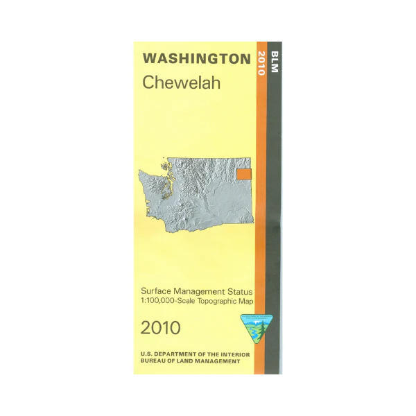
Map: Chewelah (Surface) WA - WA008S
Map shows parts of Kaniksu National Forest, Pend Oreille River, Coleville National Forest, and Little Pend Oreille National Wildlife Refuge. From Chewelah travel north or east to explore the national forest lands, or the wildlife refuge which has camping and wildlife viewing. From Newport, which is close to the Idaho border, travel north to explore the Kaniksu NF east of the Pend Oreille River with opportunities for camping, hiking, boating, fishing, and dirt biking on trails. Official BLM map shows color-coded federal, state, and private lands, topographic detail, roads, water features, recreation sites, points of interest, place names, county boundaries, and township and range lines. Use this map for hunting in Units 113, 117, 121, and 124.
This is a surface management map with a layer showing the boundaries of public and private lands, and the managing agency.
Scale is 1:100,000, roughly 3/4 inch to 1 mile. 2010
Original: $8.99
-65%$8.99
$3.15Product Information
Product Information
Shipping & Returns
Shipping & Returns
Description
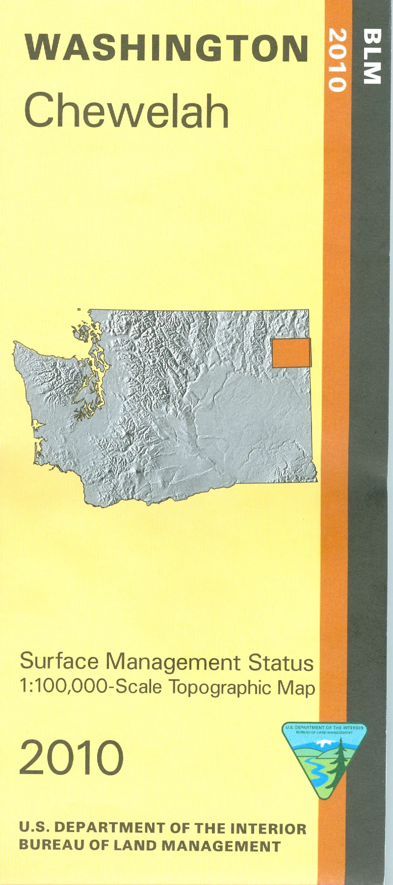
Map shows parts of Kaniksu National Forest, Pend Oreille River, Coleville National Forest, and Little Pend Oreille National Wildlife Refuge. From Chewelah travel north or east to explore the national forest lands, or the wildlife refuge which has camping and wildlife viewing. From Newport, which is close to the Idaho border, travel north to explore the Kaniksu NF east of the Pend Oreille River with opportunities for camping, hiking, boating, fishing, and dirt biking on trails. Official BLM map shows color-coded federal, state, and private lands, topographic detail, roads, water features, recreation sites, points of interest, place names, county boundaries, and township and range lines. Use this map for hunting in Units 113, 117, 121, and 124.
This is a surface management map with a layer showing the boundaries of public and private lands, and the managing agency.
Scale is 1:100,000, roughly 3/4 inch to 1 mile. 2010


