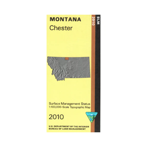
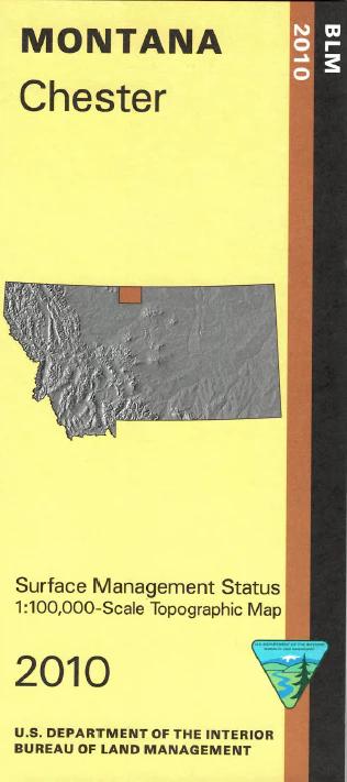
Map: Chester MT - MT1039S
Map shows lands east and north of Chester, and over to Milk River and Fresno Reservoir/Wildlife Management Area; mostly private lands with scattered state parcels. Official Bureau of Land Management metric topographic map
@1:100,000 scale (roughly 3/4"`1 mile), color-coded to show surface
management, i.e. agency vs. private or tribal ownership. This map shows color coded public and private ownership, roads, water features, points of interest and the township and range lines. Use this map for hunting Deer, Elk, and Mountain Lion in Units 401 and 600. 2010
Original: $8.99
-65%$8.99
$3.15Product Information
Product Information
Shipping & Returns
Shipping & Returns
Description
Map shows lands east and north of Chester, and over to Milk River and Fresno Reservoir/Wildlife Management Area; mostly private lands with scattered state parcels. Official Bureau of Land Management metric topographic map
@1:100,000 scale (roughly 3/4"`1 mile), color-coded to show surface
management, i.e. agency vs. private or tribal ownership. This map shows color coded public and private ownership, roads, water features, points of interest and the township and range lines. Use this map for hunting Deer, Elk, and Mountain Lion in Units 401 and 600. 2010


