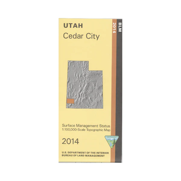
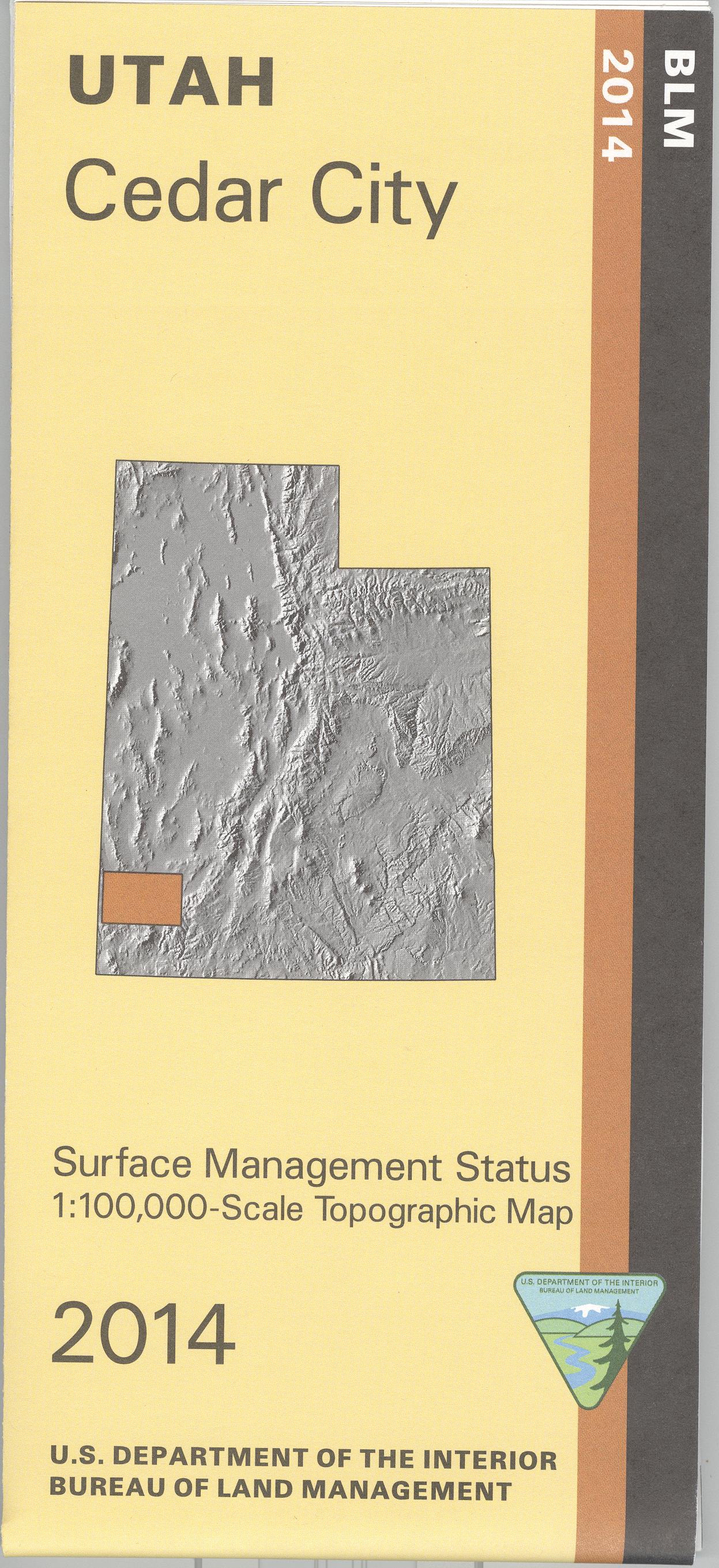
Map: Cedar City UT - UT105S
Official Bureau of Land Management metric topographic map @1:100,000 scale (roughly 3/4"`1 mile), color-coded to show Surface Management/ownership. Use this map for hunting in the Panguich Lake, Pine Valley and Southwest Desert units. 2014
$8.99
Map: Cedar City UT - UT105S—
$8.99
Product Information
Product Information
Shipping & Returns
Shipping & Returns
Description
Official Bureau of Land Management metric topographic map @1:100,000 scale (roughly 3/4"`1 mile), color-coded to show Surface Management/ownership. Use this map for hunting in the Panguich Lake, Pine Valley and Southwest Desert units. 2014


