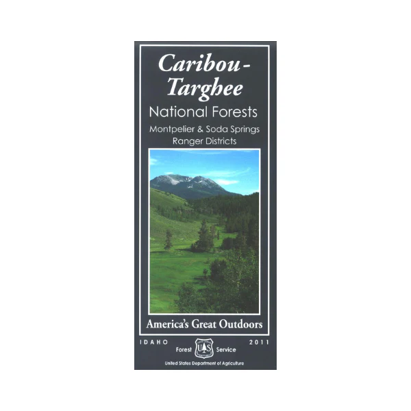
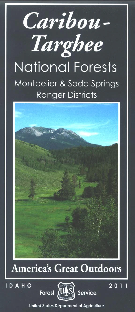
Map: Caribou-Targhee NF ID Montpelier & Soda Springs
Covers Montpelier and Soda Springs ranger districts along the Wyoming border. This maps shows camping and recreation areas, corrals, and other Forest Service facilities. Forest roads and trails are clearly marked. From Montpelier travel south to Bear Lake and enjoy it's recreation sites, or scenic drive in the forest east or west of Montpelier. From Soda Springs travel north to Blackfoot Reservoir or Palisades Reservoir to enjoy fishing, camping, or boating. Printed on synthetic paper. Water-proof and tear-proof. Map is useful for OHV use, and ID Hunting Units 66, 66A,67, 69, 72, 74, 75, 76, 77, and 78. 2011
Original: $19.99
-65%$19.99
$7.00Product Information
Product Information
Shipping & Returns
Shipping & Returns
Description
Covers Montpelier and Soda Springs ranger districts along the Wyoming border. This maps shows camping and recreation areas, corrals, and other Forest Service facilities. Forest roads and trails are clearly marked. From Montpelier travel south to Bear Lake and enjoy it's recreation sites, or scenic drive in the forest east or west of Montpelier. From Soda Springs travel north to Blackfoot Reservoir or Palisades Reservoir to enjoy fishing, camping, or boating. Printed on synthetic paper. Water-proof and tear-proof. Map is useful for OHV use, and ID Hunting Units 66, 66A,67, 69, 72, 74, 75, 76, 77, and 78. 2011


