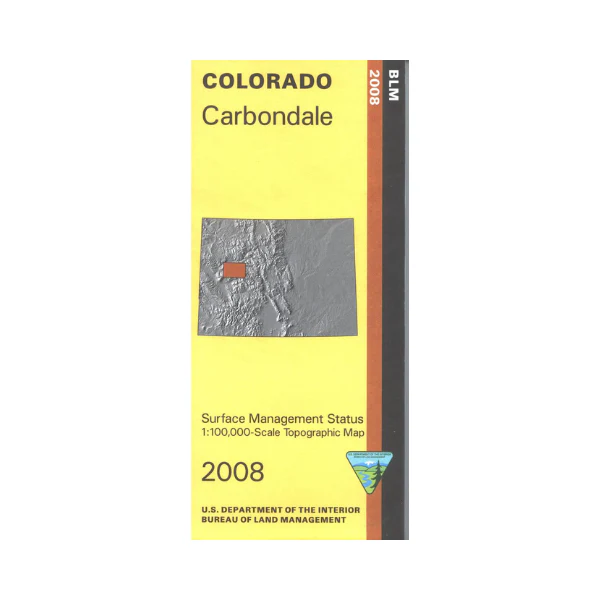
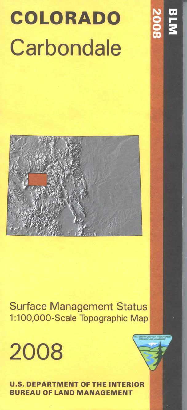
Map: Carbondale CO (MINERAL) - CO109SM
The BLM quadrant maps are scaled at 1:100,000, and cover an area of about 30 x 50 miles. Excellent adventure opportunities are available in the White River and the Grand Mesa National Forests. Enjoy scenic driving, camping, hiking, horseback riding, biking, and OHV use. Hiking trails are marked in the Maroon Bells Snowmas and Ragged Wilderness Areas. Map is useful for Colorado Hunting Units 42,43,52,421,444, and 521. Differentiates between public and private land, and also among the various agencies who manage the public lands. 2008
This is a mineral management map, with an additional layer showing below-surface mineral rights.
Original: $8.99
-65%$8.99
$3.15Product Information
Product Information
Shipping & Returns
Shipping & Returns
Description
The BLM quadrant maps are scaled at 1:100,000, and cover an area of about 30 x 50 miles. Excellent adventure opportunities are available in the White River and the Grand Mesa National Forests. Enjoy scenic driving, camping, hiking, horseback riding, biking, and OHV use. Hiking trails are marked in the Maroon Bells Snowmas and Ragged Wilderness Areas. Map is useful for Colorado Hunting Units 42,43,52,421,444, and 521. Differentiates between public and private land, and also among the various agencies who manage the public lands. 2008
This is a mineral management map, with an additional layer showing below-surface mineral rights.


