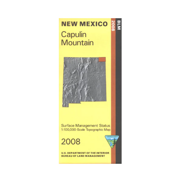
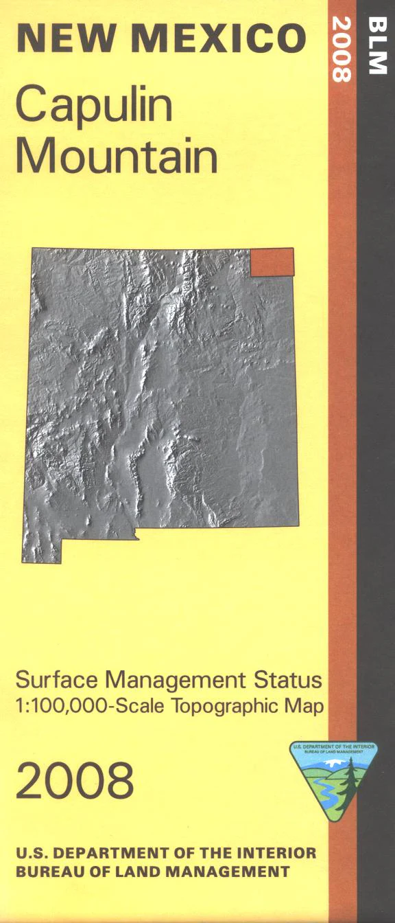
Map: Capulin Mountain NM - NM010S
Official Bureau of Land Management topographic maps @1:100,000 metric scale (roughly 3/4" = 1 mile), are color-coded to show federally-managed public lands; plus state, private, or tribal lands, roads and trails, lakes, rivers and streams, and developed recreation areas. This one is a great map to have while stalking game in Hunting Units 56, 57 and 58, fishing at Clayton Lake State Park, wildlife watching, hiking, or OHV and ATV riding. Scenic driving at Capulin Volcano National Monument. Includes roads and lands in Union County and part of Kiowa National Grasslands. 2008
Product Information
Product Information
Shipping & Returns
Shipping & Returns
Description
Official Bureau of Land Management topographic maps @1:100,000 metric scale (roughly 3/4" = 1 mile), are color-coded to show federally-managed public lands; plus state, private, or tribal lands, roads and trails, lakes, rivers and streams, and developed recreation areas. This one is a great map to have while stalking game in Hunting Units 56, 57 and 58, fishing at Clayton Lake State Park, wildlife watching, hiking, or OHV and ATV riding. Scenic driving at Capulin Volcano National Monument. Includes roads and lands in Union County and part of Kiowa National Grasslands. 2008


