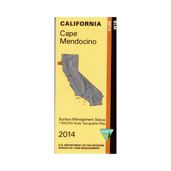
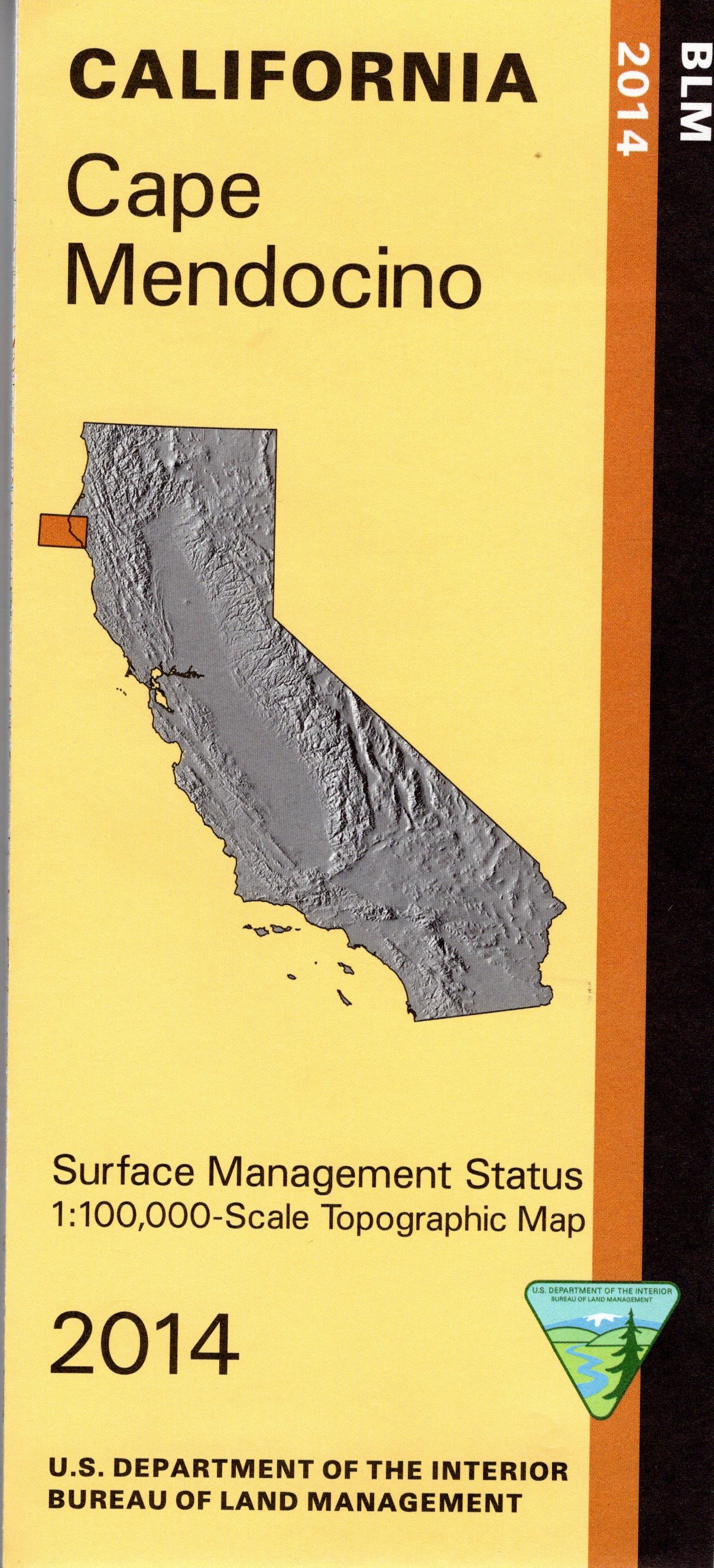
Map: Cape Mendocino CA - CA065S
Map shows part of the King Range National Conservation Area north of Shelter Cove on the coast, then east to Humboldt Redwoods State Park. Official Bureau of Land Management metric topographic map @1:100,000 scale (roughly 3/4"=1 mile), color-coded to show surface management, i.e. agency vs. private or tribal ownership. Map show roads, water features, points of interest, and the township and range lines. Use this map for Deer Hunting in Unit B4 and for Elk Hunting in Northwestern Zone. 2014
Product Information
Product Information
Shipping & Returns
Shipping & Returns
Description
Map shows part of the King Range National Conservation Area north of Shelter Cove on the coast, then east to Humboldt Redwoods State Park. Official Bureau of Land Management metric topographic map @1:100,000 scale (roughly 3/4"=1 mile), color-coded to show surface management, i.e. agency vs. private or tribal ownership. Map show roads, water features, points of interest, and the township and range lines. Use this map for Deer Hunting in Unit B4 and for Elk Hunting in Northwestern Zone. 2014


