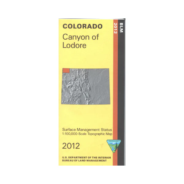
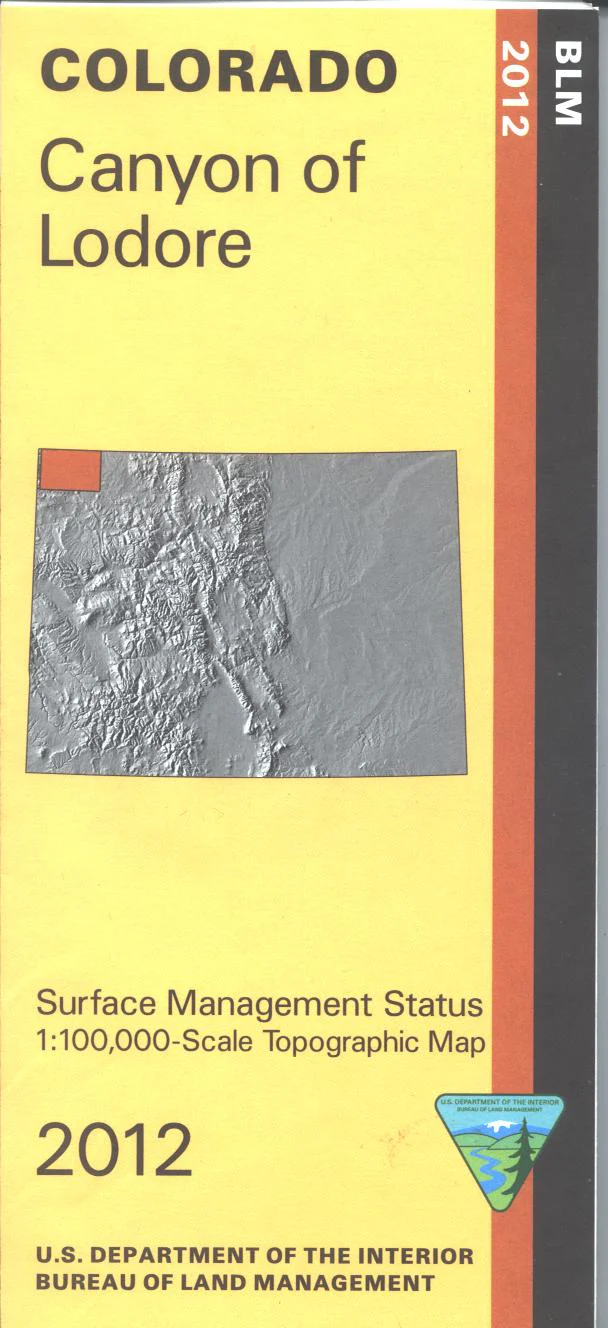
Map: Canyon of Lodore CO (SURFACE) - CO108S
The BLM quadrant maps are scaled at 1:100,000, and cover an area of about 30 x 50 miles. Visit the spectacular Dinosaur National Monument and get to know the giants that ruled this area eons ago. Extensive BLM lands are yours to visit and explore; map is useful for OHV/4WD driving such as at BLM's Sand Wash Basin Management Area; drive the Wild Horse Loop nearby. Colorado Hunting Units 1,2,3, 11, and 201. Differentiates between public and private land, and also among the various agencies who manage the public lands. Topographic contours included. 2012
Original: $8.99
-65%$8.99
$3.15Product Information
Product Information
Shipping & Returns
Shipping & Returns
Description
The BLM quadrant maps are scaled at 1:100,000, and cover an area of about 30 x 50 miles. Visit the spectacular Dinosaur National Monument and get to know the giants that ruled this area eons ago. Extensive BLM lands are yours to visit and explore; map is useful for OHV/4WD driving such as at BLM's Sand Wash Basin Management Area; drive the Wild Horse Loop nearby. Colorado Hunting Units 1,2,3, 11, and 201. Differentiates between public and private land, and also among the various agencies who manage the public lands. Topographic contours included. 2012


