
Map: Butte North MT - MT1029S
Official Bureau of Land Management metric topographic map
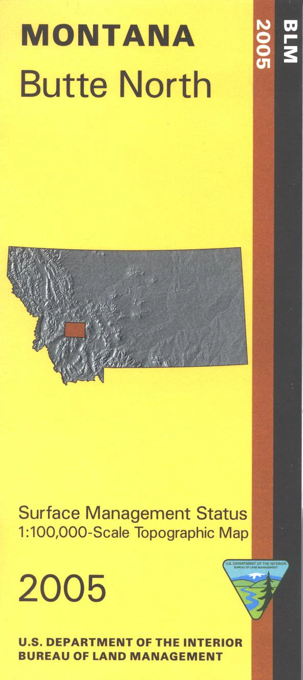
@1:100,000 scale (roughly 3/4"`1 mile), color-coded to show surface
management, i.e. agency vs. private or tribal ownership. This map shows color coded public and private ownership, mineral management, roads, water features, recreation sites, points of interest, and the township and range lines. From Butte travel northeast or northwest to access Beaverhead Deerlodge, or Helena National Forests. Travel the forest roads to reach the campgrounds and fishing sites. For hiking the Continental Divide National Scenic Trail crossed Hwy 91 north of Butte. Use this map for OHV use, and hunting Deer and Elk in Units 212, 213,214, 215, 318, 335, 350, 370, and 380; and for hunting Moose in Units 212, 215, 335, 341, 350, 380, and 382. Currently only the version with surface and mineral management is available. 2005
Product Information
Product Information
Shipping & Returns
Shipping & Returns
Description
Official Bureau of Land Management metric topographic map
@1:100,000 scale (roughly 3/4"`1 mile), color-coded to show surface
management, i.e. agency vs. private or tribal ownership. This map shows color coded public and private ownership, mineral management, roads, water features, recreation sites, points of interest, and the township and range lines. From Butte travel northeast or northwest to access Beaverhead Deerlodge, or Helena National Forests. Travel the forest roads to reach the campgrounds and fishing sites. For hiking the Continental Divide National Scenic Trail crossed Hwy 91 north of Butte. Use this map for OHV use, and hunting Deer and Elk in Units 212, 213,214, 215, 318, 335, 350, 370, and 380; and for hunting Moose in Units 212, 215, 335, 341, 350, 380, and 382. Currently only the version with surface and mineral management is available. 2005


