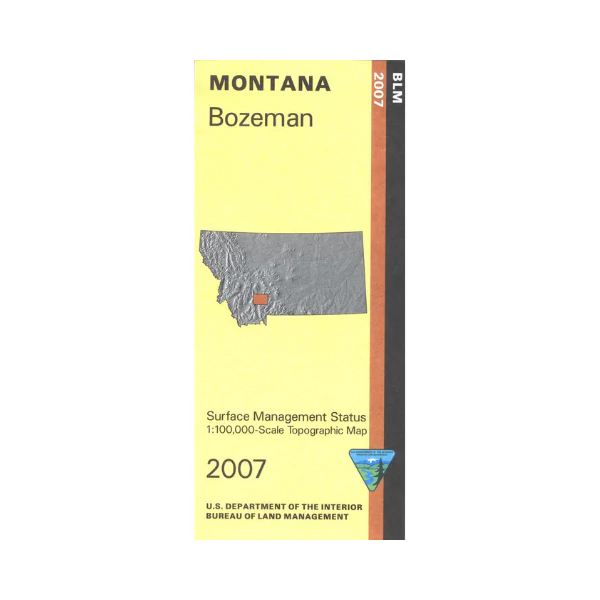
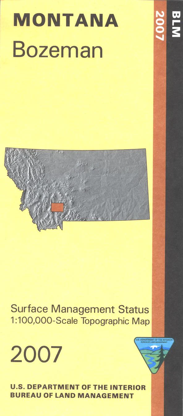
Map: Bozeman MT - MT1024S
Official Bureau of Land Management metric topographic map
@1:100,000 scale (roughly 3/4"`1 mile), color-coded to show surface
management, i.e. agency vs. private or tribal ownership. This map shows color coded public and private ownership, roads, water features, recreation sites, points of interest, and the township and range lines. Map shows lands west of Bozeman including a section of Beaverhead Deerlodge National Forest, Lewis and Clark Cavern State Park, Missouri River Headwaters State Park, and Madison Buffalo Jump State Monument. For history buffs the Lewis and Clark National Historic Trail along the Gallatin River is marked. From Bozeman travel south to Gallatin National Forest for camping, hiking, and fishing. From Three Forks travel along the Madison River to enjoy camping, fishing, and boating. Currently only the version with mineral and surface management is available. Use this map for hunting Deer and Elk in Units 301, 311, 312, 333, and 370; and for hunting Moose in Units 311, 312, 313, 315, 320, 350, and 380. 2007
Product Information
Product Information
Shipping & Returns
Shipping & Returns
Description
Official Bureau of Land Management metric topographic map
@1:100,000 scale (roughly 3/4"`1 mile), color-coded to show surface
management, i.e. agency vs. private or tribal ownership. This map shows color coded public and private ownership, roads, water features, recreation sites, points of interest, and the township and range lines. Map shows lands west of Bozeman including a section of Beaverhead Deerlodge National Forest, Lewis and Clark Cavern State Park, Missouri River Headwaters State Park, and Madison Buffalo Jump State Monument. For history buffs the Lewis and Clark National Historic Trail along the Gallatin River is marked. From Bozeman travel south to Gallatin National Forest for camping, hiking, and fishing. From Three Forks travel along the Madison River to enjoy camping, fishing, and boating. Currently only the version with mineral and surface management is available. Use this map for hunting Deer and Elk in Units 301, 311, 312, 333, and 370; and for hunting Moose in Units 311, 312, 313, 315, 320, 350, and 380. 2007


