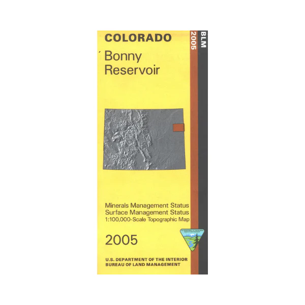
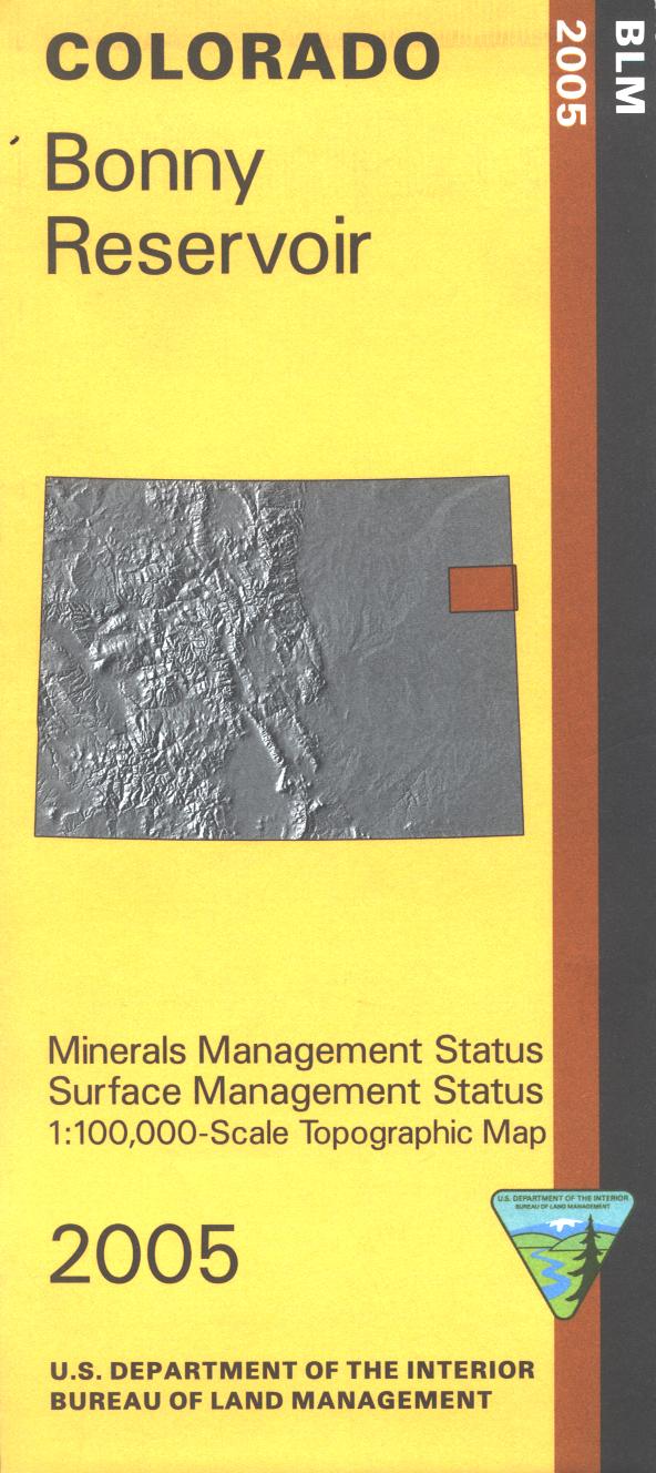
Map: Bonny Reservoir CO - CO105S
The BLM quadrant maps are scaled at 1:100,000, and cover an area of about 30 x 50 miles. Ownership status is denoted by color, and roads, lakes, streams, and other topographical features are marked on these maps. Most of the map is private land with scattered state lands. Bonney Reservoir State Park offers fishing, boating, camping, and swimming. The South Republican State Wildlife area offers camping and hunting. Map is useful for CO Hunting Units 100, 101, 102, 103, 107 109. 2005
Original: $8.99
-65%$8.99
$3.15Product Information
Product Information
Shipping & Returns
Shipping & Returns
Description
The BLM quadrant maps are scaled at 1:100,000, and cover an area of about 30 x 50 miles. Ownership status is denoted by color, and roads, lakes, streams, and other topographical features are marked on these maps. Most of the map is private land with scattered state lands. Bonney Reservoir State Park offers fishing, boating, camping, and swimming. The South Republican State Wildlife area offers camping and hunting. Map is useful for CO Hunting Units 100, 101, 102, 103, 107 109. 2005


