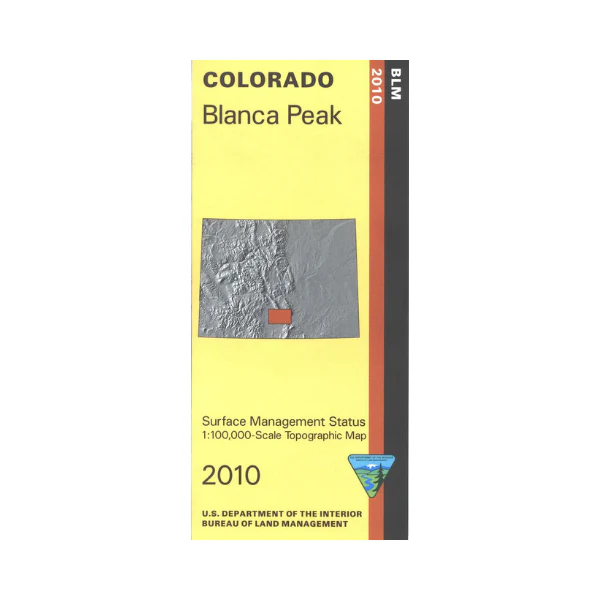
Map: Blanca Peak CO - CO104S
The BLM quadrant maps are scaled at 1:100,000, and cover an area of about 30 x 50 miles. Explore and play at the Great Sand Dunes National Park, campground available. Section of San Isabel National Forest, and Rio Grande National Forest are shown, as is Baca National Wildlife Refuge. Map is good for camping, hunting, hiking, horseback riding, scenic driving, and fishing. Map is useful for OHV use and Colorado Hunting Unit 682,791, 82, 83, 84, 85, 86, and 861. Differentiates between public and private land, and also among the various agencies who manage the public lands. Topographic contours included. 2010
Original: $8.99
-65%$8.99
$3.15Product Information
Product Information
Shipping & Returns
Shipping & Returns
Description
The BLM quadrant maps are scaled at 1:100,000, and cover an area of about 30 x 50 miles. Explore and play at the Great Sand Dunes National Park, campground available. Section of San Isabel National Forest, and Rio Grande National Forest are shown, as is Baca National Wildlife Refuge. Map is good for camping, hunting, hiking, horseback riding, scenic driving, and fishing. Map is useful for OHV use and Colorado Hunting Unit 682,791, 82, 83, 84, 85, 86, and 861. Differentiates between public and private land, and also among the various agencies who manage the public lands. Topographic contours included. 2010


