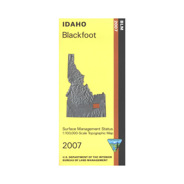
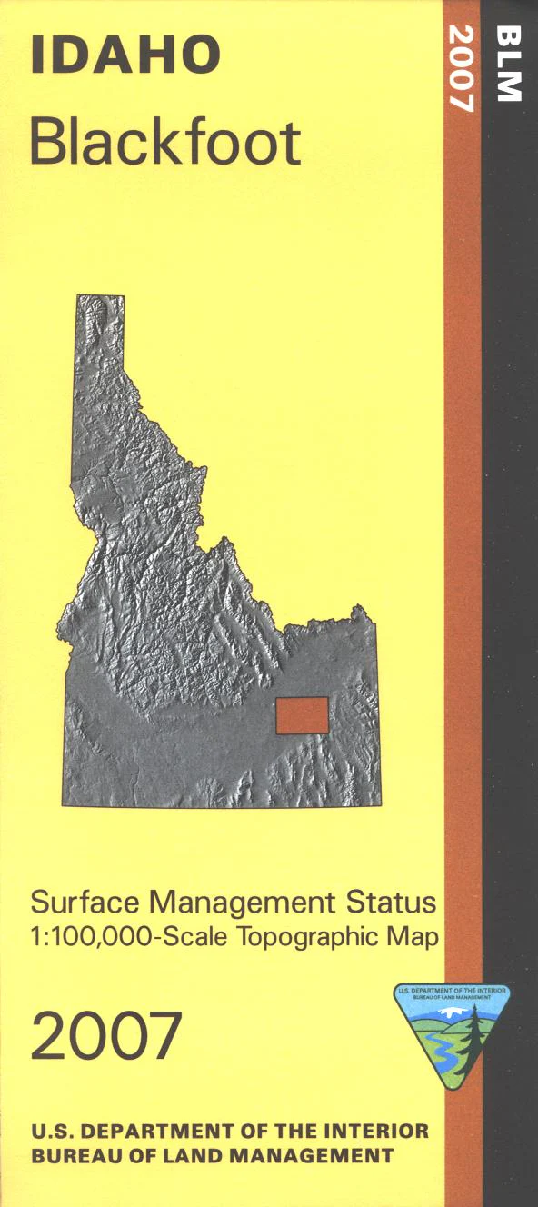
Map: Blackfoot ID - ID1005S
Explore the BLM lands northwest of Springfield, two sections of the Oregon National Historic Trail are marked. Map shows a north section of Fort Hall Indian Reservation. Official Bureau of Land Management metric topographic map @1:100,000 scale (roughly 3/4"`1 mile), color-coded to show Surface Management/ownership. Map is useful for ID Hunting Units 63, 68, 68A, and 69. 2007
Product Information
Product Information
Shipping & Returns
Shipping & Returns
Description
Explore the BLM lands northwest of Springfield, two sections of the Oregon National Historic Trail are marked. Map shows a north section of Fort Hall Indian Reservation. Official Bureau of Land Management metric topographic map @1:100,000 scale (roughly 3/4"`1 mile), color-coded to show Surface Management/ownership. Map is useful for ID Hunting Units 63, 68, 68A, and 69. 2007


