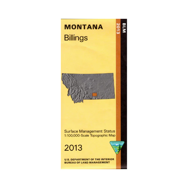
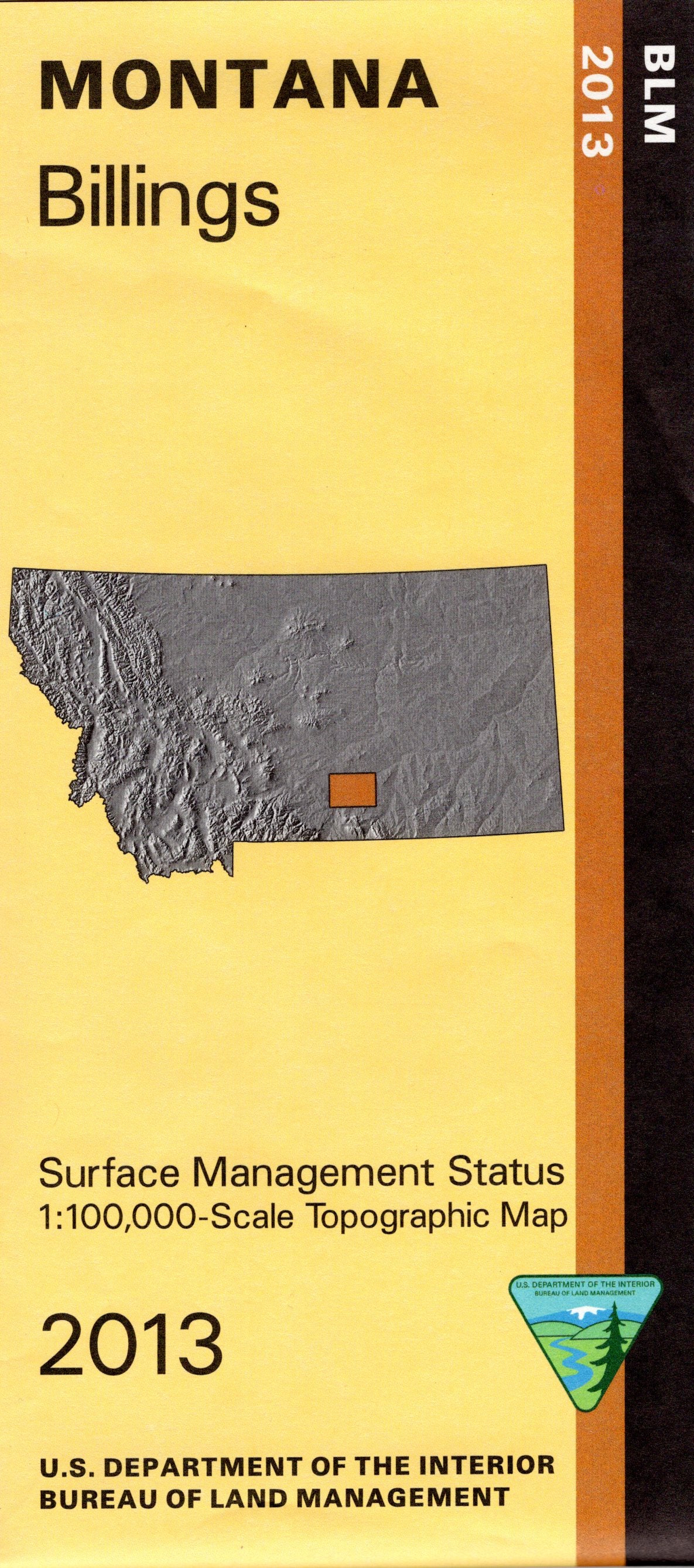
Map: Billings MT - MT1017S
Official Bureau of Land Management metric topographic map
@1:100,000 scale (roughly 3/4"`1 mile), color-coded to show surface
management, i.e. agency vs. private or tribal ownership. This map shows color coded public and private ownership, roads, water features, recreation sites, points of interest, and the township and range lines. From Billings travel north along the Yellowstone River to Pompeys Pillar National Monument with hiking, fishing, boat launching, and viewing the historical site. South of Billings scenic drive along the Yellowstone River enjoying fishing, boating, and camping. Mountain biking trails at Sundance Lodge Recreation Area on the river. Ride your OHV at BLM's South Hills OHV Area just south of Billings. Use this map for hunting Deer and Elk in Units 500, 502, 575, and 590; and for hunting Moose in Unit 514. Updated 2013.
Product Information
Product Information
Shipping & Returns
Shipping & Returns
Description
Official Bureau of Land Management metric topographic map
@1:100,000 scale (roughly 3/4"`1 mile), color-coded to show surface
management, i.e. agency vs. private or tribal ownership. This map shows color coded public and private ownership, roads, water features, recreation sites, points of interest, and the township and range lines. From Billings travel north along the Yellowstone River to Pompeys Pillar National Monument with hiking, fishing, boat launching, and viewing the historical site. South of Billings scenic drive along the Yellowstone River enjoying fishing, boating, and camping. Mountain biking trails at Sundance Lodge Recreation Area on the river. Ride your OHV at BLM's South Hills OHV Area just south of Billings. Use this map for hunting Deer and Elk in Units 500, 502, 575, and 590; and for hunting Moose in Unit 514. Updated 2013.


