
Map: Bighorn Crags ID - ID1004S
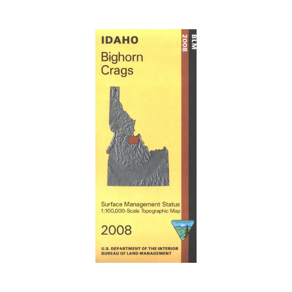
Explore Salmon National Forest and Frank Church River Of No Return Wilderness, recreation sites and trailheads are marked. Map covers an eastern part of the wilderness, Salmon River Mountains, Yellow Jacket Mountains, and a section of the Wild and Scenic Salmon River, and Middle Fork Salmon River. Enjoy camping, hiking, horseback riding, fishing, and scenic driving. Official Bureau of Land Management metric topographic map @1:100,000 scale (roughly 3/4"= 1 mile), color-coded to show Surface Management/ownership. Map is useful for OHV use, and hunting in Units 21, 20A, 27, and 28.
2008
Product Information
Product Information
Shipping & Returns
Shipping & Returns
Description
Explore Salmon National Forest and Frank Church River Of No Return Wilderness, recreation sites and trailheads are marked. Map covers an eastern part of the wilderness, Salmon River Mountains, Yellow Jacket Mountains, and a section of the Wild and Scenic Salmon River, and Middle Fork Salmon River. Enjoy camping, hiking, horseback riding, fishing, and scenic driving. Official Bureau of Land Management metric topographic map @1:100,000 scale (roughly 3/4"= 1 mile), color-coded to show Surface Management/ownership. Map is useful for OHV use, and hunting in Units 21, 20A, 27, and 28.
2008


