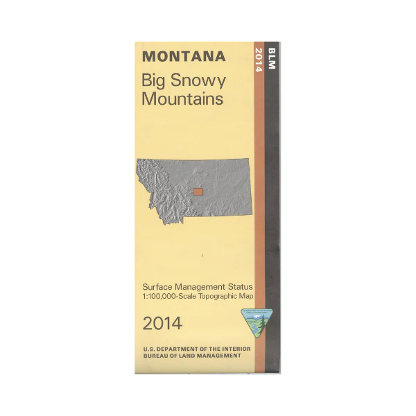
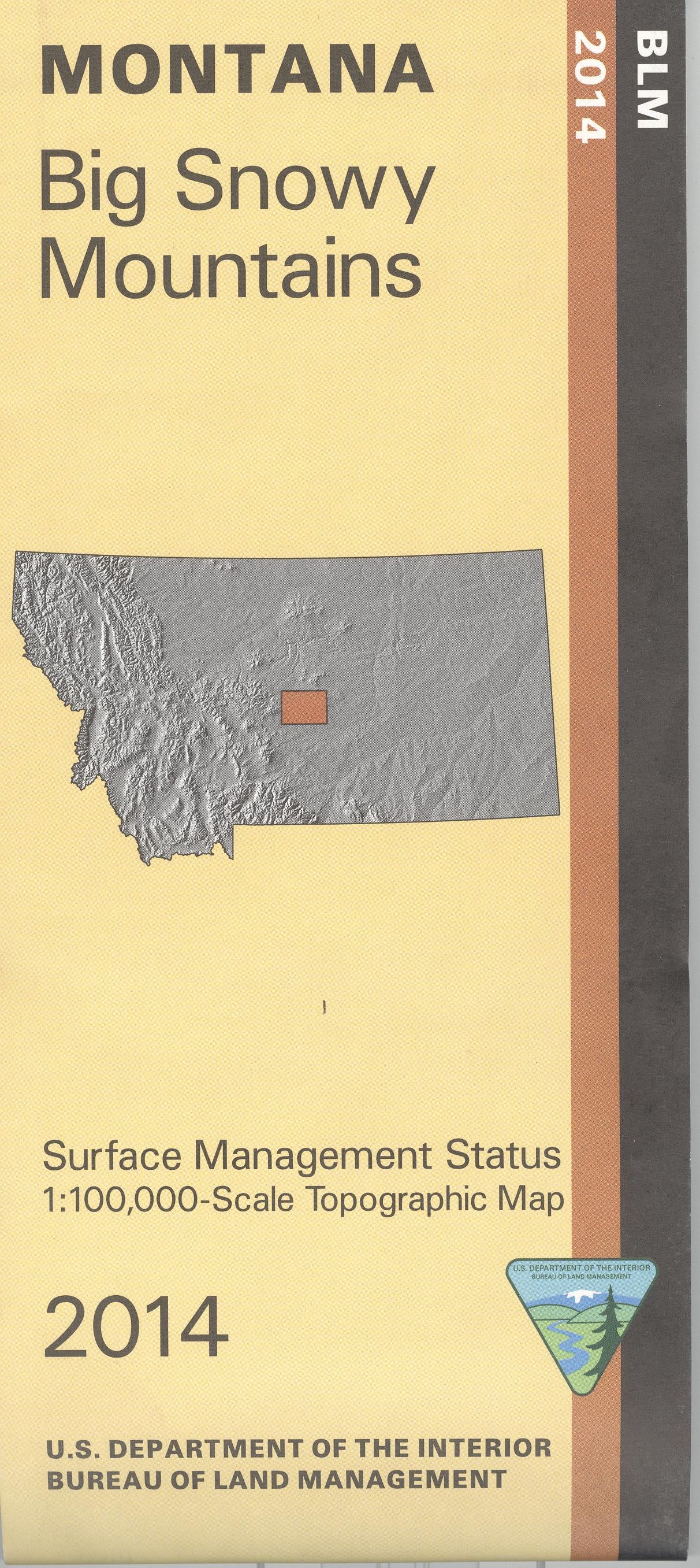
Map: Big Snowy Mountains MT - MT1014S
Official Bureau of Land Management metric topographic map
@1:100,000 scale (roughly 3/4"`1 mile), color-coded to show surface
management, i.e. agency vs. private or tribal ownership. This map shows color coded public and private ownership, roads, water features, recreational sites, points of interest and the township and range lines. Three sections of Lewis and Clark National Forest are shown on the map; the largest section is the Big Snowy Mountains with the campground marked;hiking, camping, fishing, and boating at Crystal Lake. Explore the mountains on forest roads, or travel to Ackley lake State Park offering camping, mountain biking on trails, fishing, and boating. Map is useful for OHV use, and deer and elk hunting in Units 411, 418, 511, 530, 540, and moose in Unit 496. 2014
Original: $8.99
-65%$8.99
$3.15Product Information
Product Information
Shipping & Returns
Shipping & Returns
Description
Official Bureau of Land Management metric topographic map
@1:100,000 scale (roughly 3/4"`1 mile), color-coded to show surface
management, i.e. agency vs. private or tribal ownership. This map shows color coded public and private ownership, roads, water features, recreational sites, points of interest and the township and range lines. Three sections of Lewis and Clark National Forest are shown on the map; the largest section is the Big Snowy Mountains with the campground marked;hiking, camping, fishing, and boating at Crystal Lake. Explore the mountains on forest roads, or travel to Ackley lake State Park offering camping, mountain biking on trails, fishing, and boating. Map is useful for OHV use, and deer and elk hunting in Units 411, 418, 511, 530, 540, and moose in Unit 496. 2014


