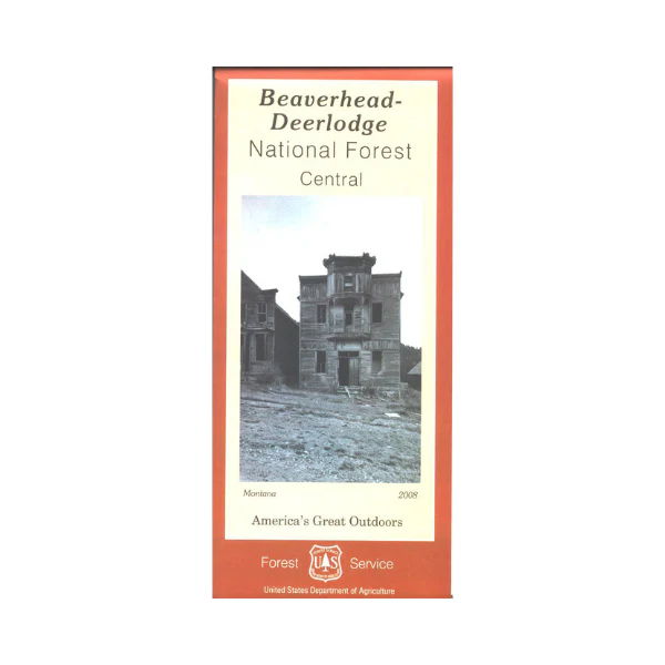
Map: Beaverhead-Deerlodge NF MT-Central
This map covers Jefferson, Madison, Wisdom, Pintler, Wise River, Dillon, and Butte Ranger Districts. It covers from Dillion north to Butte(Central West section), and Whitehall south to Varney Bridge/Madison River(Central East section); also east & west of I-15. Forest roads are easily accessed from the nearby towns, enjoy scenic driving, OHV riding, camping, hiking, fishing, boating, wildlife viewing, and scenic viewpoints. Map shows roads, OHV roads, trails, campgrounds, picnic sites, water features, points of interest, and color coded surface management. Scale is 1:126,720, no topographic detail. The map includes information about motorized off-road travel (ATVs, motorcycles, etc.) Map is useful for MT Deer and Elk Hunting Units 215, 311, 320, 321, 322, 330, 331, 333, 332, 334, 340, and 360; MT Moose Hunting Units 312, 313, 319, 320, 324, 331, 340, 341, 350, 360, and 380. 2008
Original: $19.99
-65%$19.99
$7.00Product Information
Product Information
Shipping & Returns
Shipping & Returns
Description
This map covers Jefferson, Madison, Wisdom, Pintler, Wise River, Dillon, and Butte Ranger Districts. It covers from Dillion north to Butte(Central West section), and Whitehall south to Varney Bridge/Madison River(Central East section); also east & west of I-15. Forest roads are easily accessed from the nearby towns, enjoy scenic driving, OHV riding, camping, hiking, fishing, boating, wildlife viewing, and scenic viewpoints. Map shows roads, OHV roads, trails, campgrounds, picnic sites, water features, points of interest, and color coded surface management. Scale is 1:126,720, no topographic detail. The map includes information about motorized off-road travel (ATVs, motorcycles, etc.) Map is useful for MT Deer and Elk Hunting Units 215, 311, 320, 321, 322, 330, 331, 333, 332, 334, 340, and 360; MT Moose Hunting Units 312, 313, 319, 320, 324, 331, 340, 341, 350, 360, and 380. 2008


