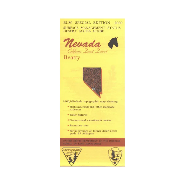
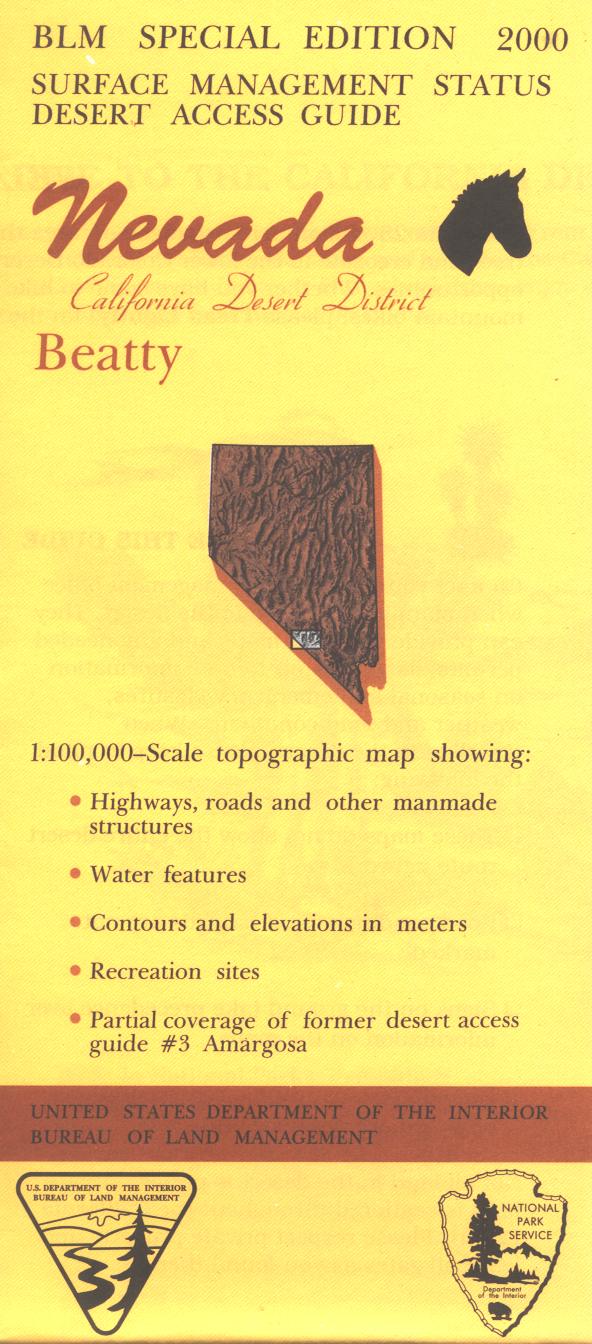
Map: Beatty NV - NV102S
Official Bureau of Land Management metric topographic map @1:100,000 scale (roughly 3/4"=1 mile), color-coded to show surface management, i.e. agency vs. private or tribal ownership.
This map shows color-coded public and private ownership, roads, water features, points of interest and the township and range lines. Maps show trails, roads, and developed recreation areas such as campgrounds. Use this map for Deer Hunting in California Deer Unit X9c. Recent revisions are topographic. 2000
Original: $8.99
-65%$8.99
$3.15Product Information
Product Information
Shipping & Returns
Shipping & Returns
Description
Official Bureau of Land Management metric topographic map @1:100,000 scale (roughly 3/4"=1 mile), color-coded to show surface management, i.e. agency vs. private or tribal ownership.
This map shows color-coded public and private ownership, roads, water features, points of interest and the township and range lines. Maps show trails, roads, and developed recreation areas such as campgrounds. Use this map for Deer Hunting in California Deer Unit X9c. Recent revisions are topographic. 2000


