
Map: Baker MT - MT1009S
Official Bureau of Land Management metric topographic map
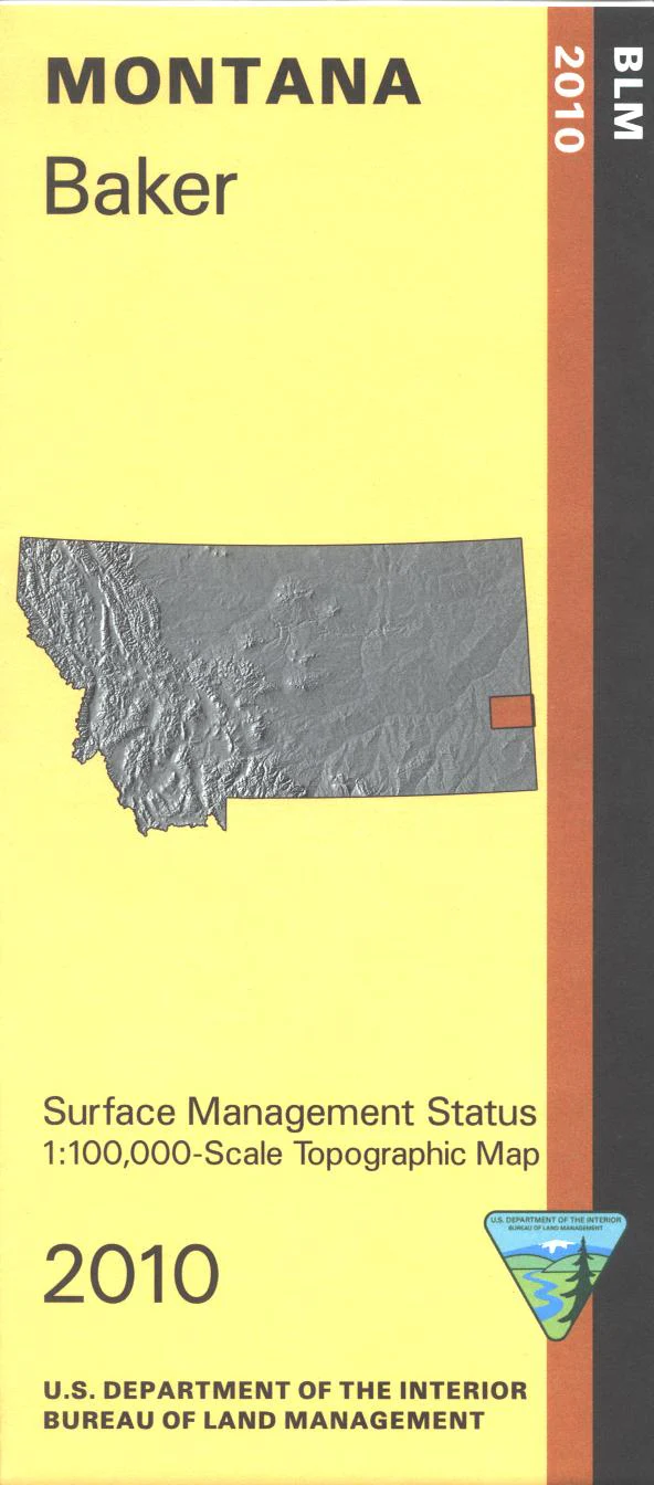
@1:100,000 scale (roughly 3/4"`1 mile), color-coded to show surface
management, i.e. agency vs. private or tribal ownership. This map shows color coded public and private ownership, roads, water features, points of interest and the township and range lines. Explore the BML land sections surrounding Baker from the North Dakota border to about 35 miles west. Use this map for hunting Deer and Antelope in Units 703, 704, and 705.
2010
Product Information
Product Information
Shipping & Returns
Shipping & Returns
Description
Official Bureau of Land Management metric topographic map
@1:100,000 scale (roughly 3/4"`1 mile), color-coded to show surface
management, i.e. agency vs. private or tribal ownership. This map shows color coded public and private ownership, roads, water features, points of interest and the township and range lines. Explore the BML land sections surrounding Baker from the North Dakota border to about 35 miles west. Use this map for hunting Deer and Antelope in Units 703, 704, and 705.
2010


