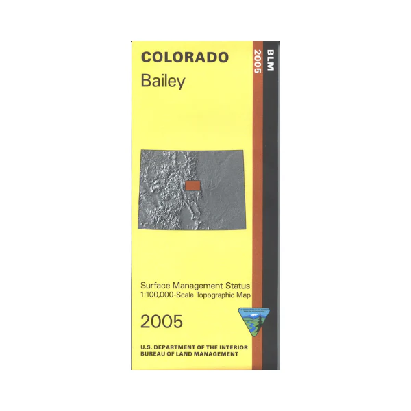
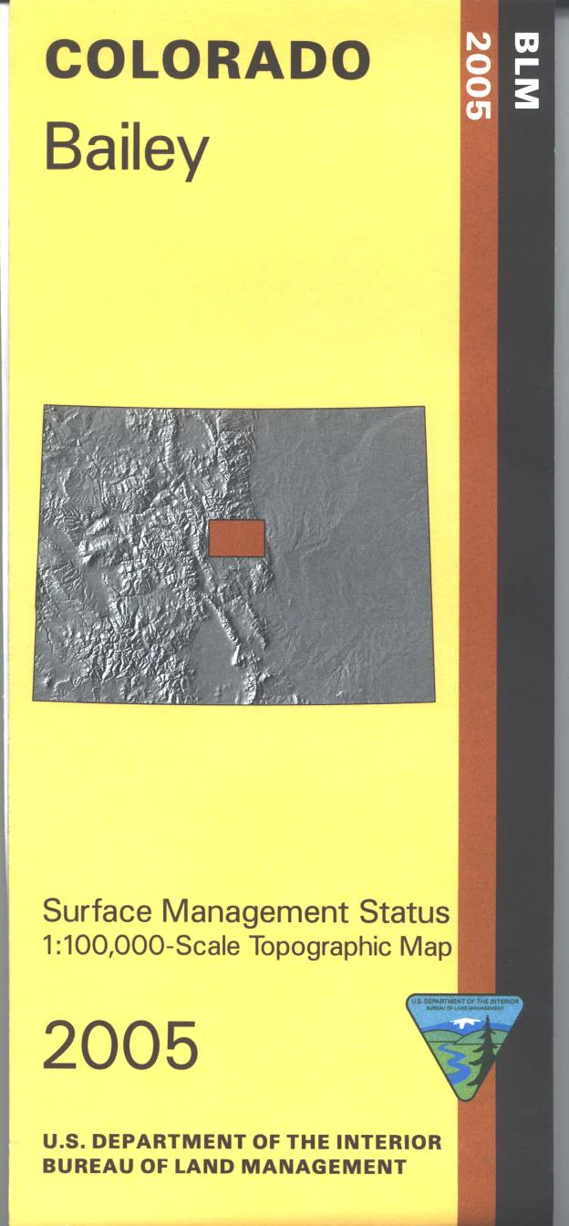
Map: Bailey CO - CO103S
The BLM quadrant maps are scaled at 1:100,000, and cover an area of about 30 x 50 miles. Differentiates between public and private land, and also among the various agencies who manage the public lands. Hike, camp, backpack, scenic drive, and explore the Pike National Forest; includes Lost Creek Wilderness. Hunt in the forest or in James Mark Jones State Wildlife Area, or the other wildlife areas on the map. Map is useful for OHV use, and Colorado Hunting Units 46, 49, 50, 51, 500, 501, 511, and 581. 2005
Original: $8.99
-65%$8.99
$3.15Product Information
Product Information
Shipping & Returns
Shipping & Returns
Description
The BLM quadrant maps are scaled at 1:100,000, and cover an area of about 30 x 50 miles. Differentiates between public and private land, and also among the various agencies who manage the public lands. Hike, camp, backpack, scenic drive, and explore the Pike National Forest; includes Lost Creek Wilderness. Hunt in the forest or in James Mark Jones State Wildlife Area, or the other wildlife areas on the map. Map is useful for OHV use, and Colorado Hunting Units 46, 49, 50, 51, 500, 501, 511, and 581. 2005


