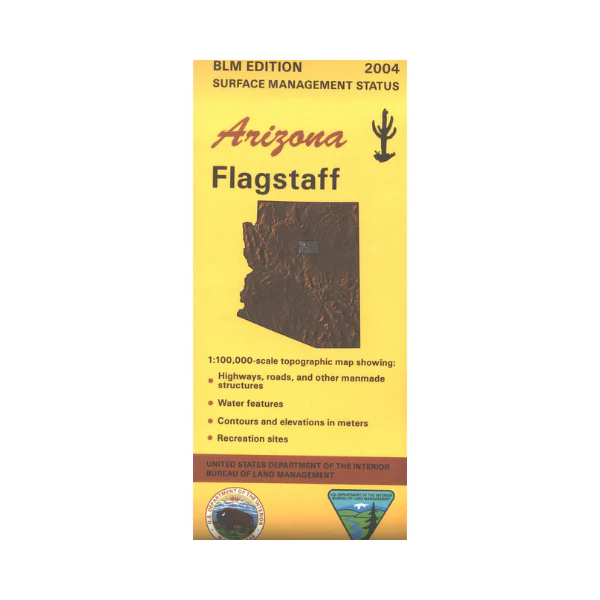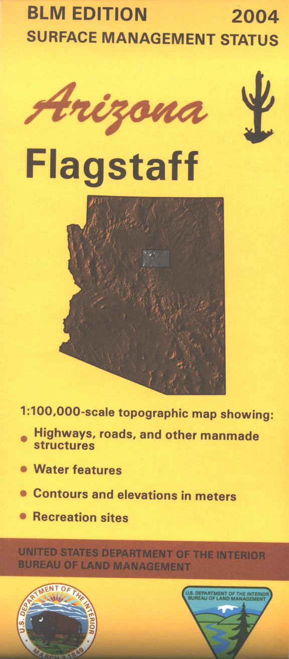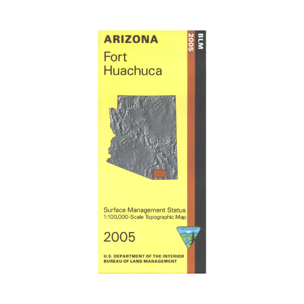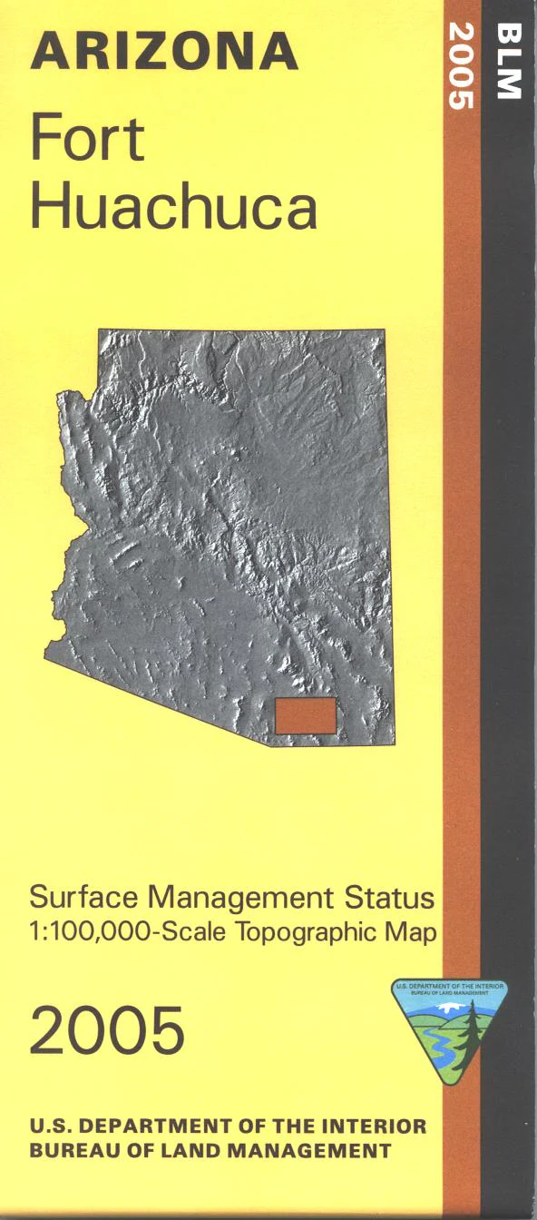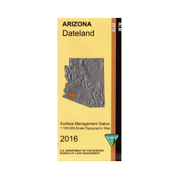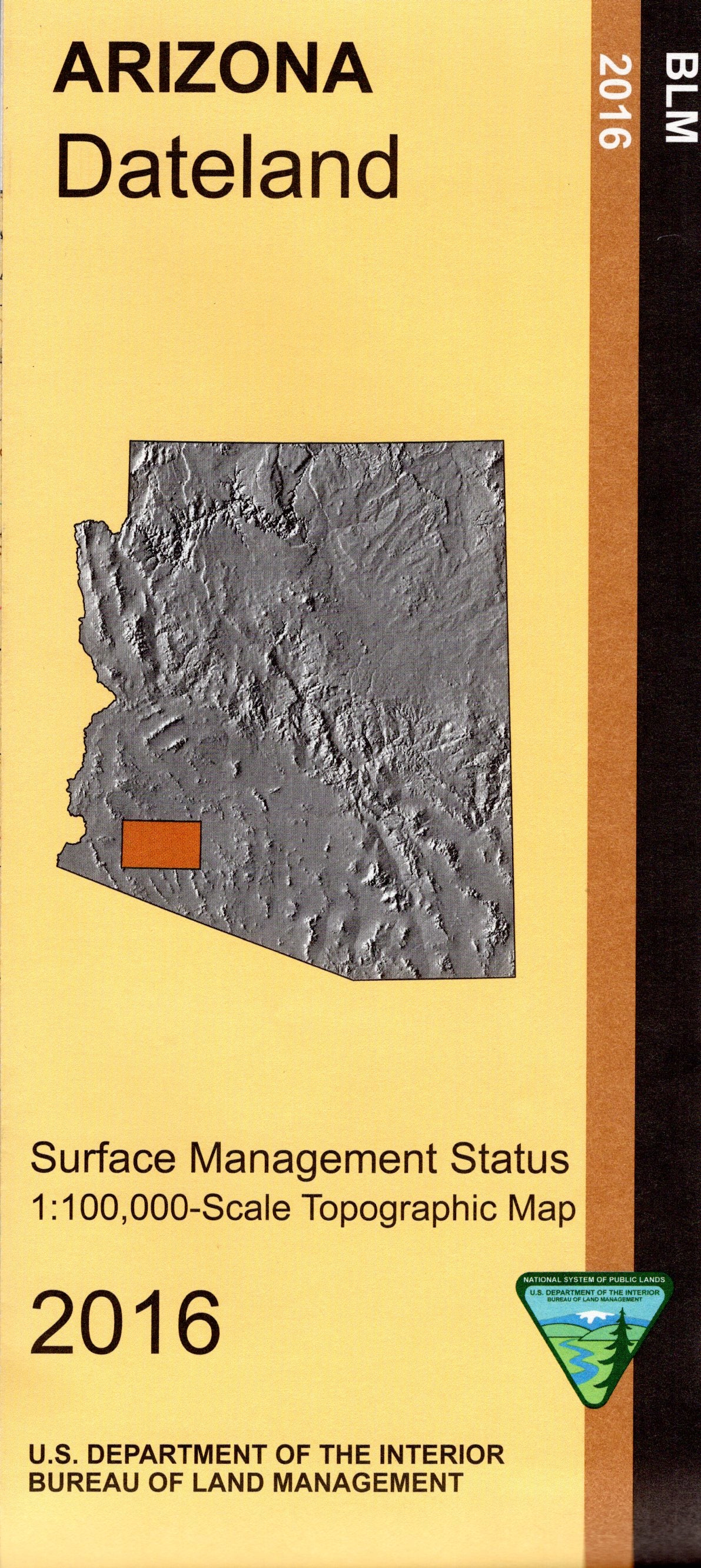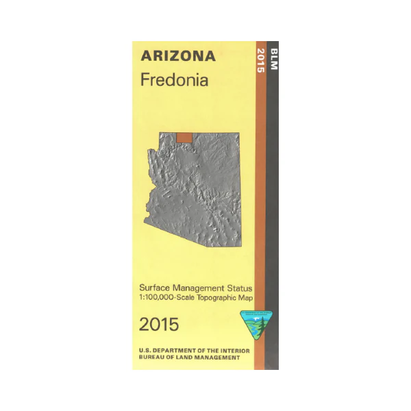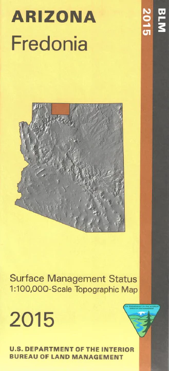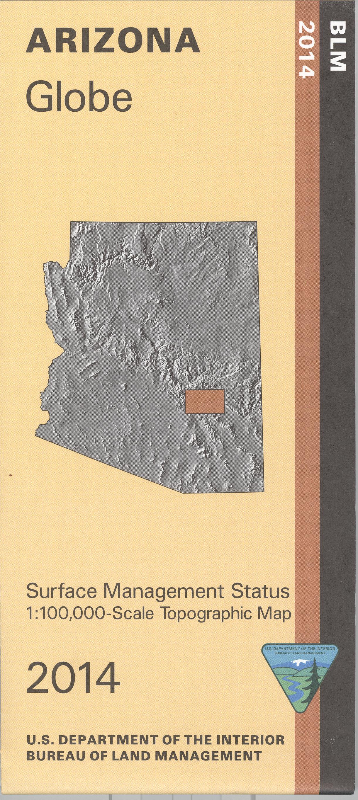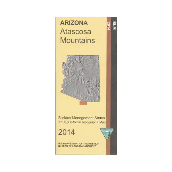
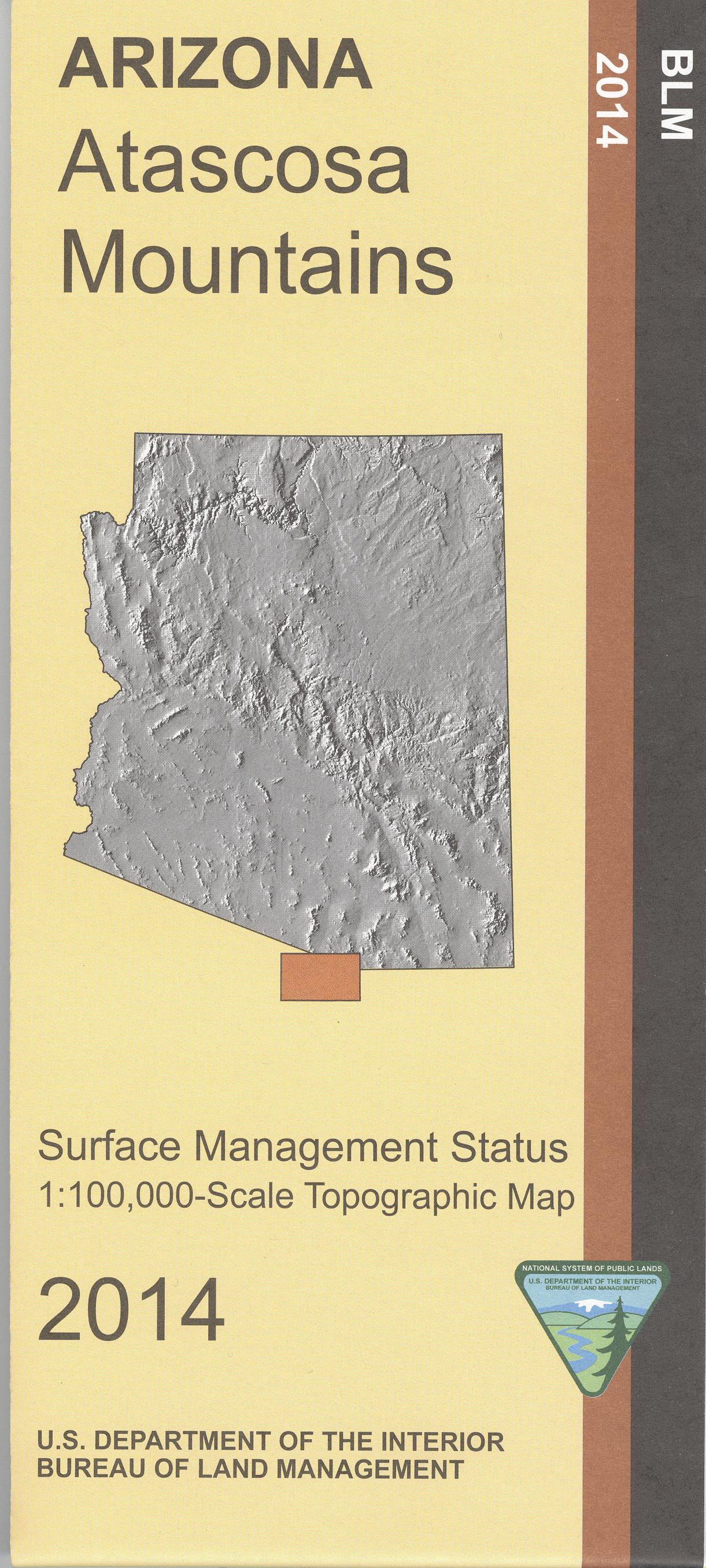
Map: Atascosa Mountains AZ - AZ103S
Official Bureau of Land Management map @ 1:100,000 metric scale(roughly 3/4" = 1 mile) (no topographic detail) is color coded to show federally managed public lands; plus state, private, and tribal lands. Also shows roads, trails, rivers and developed recreation sites. Includes parts of Santa Cruz and Pima counties, and Coronado National Forest. Useful for AZ Hunting Unit 36B. 2014.
Original: $8.99
-65%$8.99
$3.15Product Information
Product Information
Shipping & Returns
Shipping & Returns
Description
Official Bureau of Land Management map @ 1:100,000 metric scale(roughly 3/4" = 1 mile) (no topographic detail) is color coded to show federally managed public lands; plus state, private, and tribal lands. Also shows roads, trails, rivers and developed recreation sites. Includes parts of Santa Cruz and Pima counties, and Coronado National Forest. Useful for AZ Hunting Unit 36B. 2014.