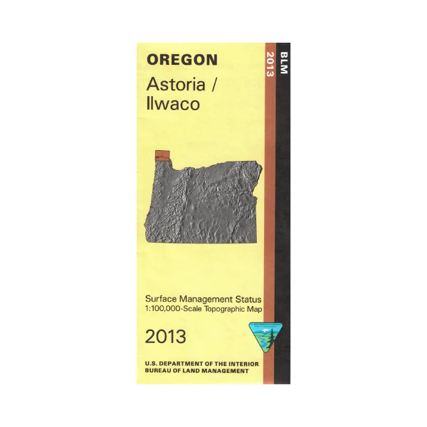
Map: Astoria/Ilwaco OR
Map includes the Columbia River from the ocean east to Dibblee Island. From Astoria OR travel north on Hwy 101, a scenic drive with ocean bay views, and then travel east to access the river with opportunities for camping, fishing, and boating. This map shows color-coded federal, state, and private lands, roads, water features, recreation sites, points of interest, place names, and counties. Use this map for Washington hunting units 504, 506, 530, 673, 681, 684, and 699. Oregon hunting units 10 and 11. Scale is 1:100,000,3/4 inch to 1 mile. 2013
Original: $8.99
-65%$8.99
$3.15Product Information
Product Information
Shipping & Returns
Shipping & Returns
Description
Map includes the Columbia River from the ocean east to Dibblee Island. From Astoria OR travel north on Hwy 101, a scenic drive with ocean bay views, and then travel east to access the river with opportunities for camping, fishing, and boating. This map shows color-coded federal, state, and private lands, roads, water features, recreation sites, points of interest, place names, and counties. Use this map for Washington hunting units 504, 506, 530, 673, 681, 684, and 699. Oregon hunting units 10 and 11. Scale is 1:100,000,3/4 inch to 1 mile. 2013


