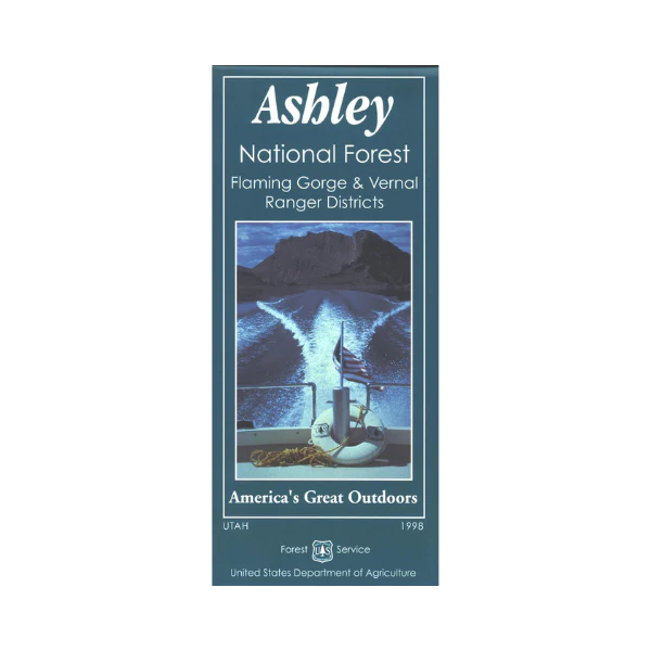
Map: Ashley NF UT - Flaming Gorge & Vernal RD
A great map to have for planning a trip visiting the Flaming Gorge National Recreation Area. Scenic drive the highways on the east side or west side of the gorge with numerous opportunities for wildlife viewing, camping, hiking, boating, fishing, or water skiing and jet skiing. Also you can float the Green River near Dutch John. Map also shows the forested Unita Mountains and part of High Unitas Wilderness north of Vernal, and the expansive BLM lands adjacent to the gorge. This map is based on a 1:126,000 scale and includes topographical information, color-coded surface management, ranger stations, campgrounds, other recreation sites, recreation information, points of interest, trails and roads. Use the map for hunting in North Slope and South Slope Units. Printed on tear-proof, synthetic material. 1998
Original: $19.99
-65%$19.99
$7.00Product Information
Product Information
Shipping & Returns
Shipping & Returns
Description
A great map to have for planning a trip visiting the Flaming Gorge National Recreation Area. Scenic drive the highways on the east side or west side of the gorge with numerous opportunities for wildlife viewing, camping, hiking, boating, fishing, or water skiing and jet skiing. Also you can float the Green River near Dutch John. Map also shows the forested Unita Mountains and part of High Unitas Wilderness north of Vernal, and the expansive BLM lands adjacent to the gorge. This map is based on a 1:126,000 scale and includes topographical information, color-coded surface management, ranger stations, campgrounds, other recreation sites, recreation information, points of interest, trails and roads. Use the map for hunting in North Slope and South Slope Units. Printed on tear-proof, synthetic material. 1998


