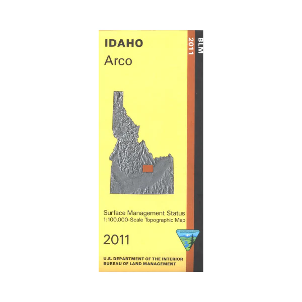
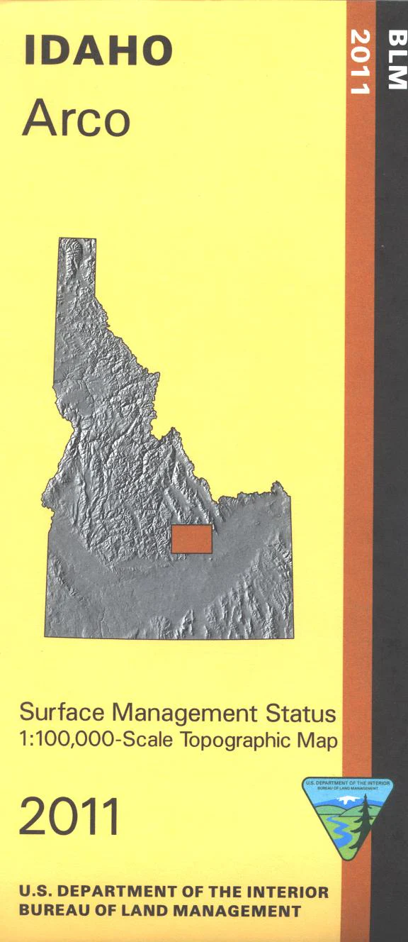
Map: Arco ID - ID1001S
Explore the Challis National Forest areas northeast and northwest of Arco; includes Lost River Range, White Knob Mountains, and Pioneer Mountains with recreation sites marked. Fishing, boating, and camping at Mackay Reservoir. BLM lands are adjacent to the forest areas with many BLM roads to explore.Official Bureau of Land Management metric topographic map @1:100,000 scale (roughly 3/4"`1 mile), color-coded to show Surface Management/ownership. Map is useful for OHV use, and ID Hunting Unit 50, 51, 49, 52A, and 68. 2011
Product Information
Product Information
Shipping & Returns
Shipping & Returns
Description
Explore the Challis National Forest areas northeast and northwest of Arco; includes Lost River Range, White Knob Mountains, and Pioneer Mountains with recreation sites marked. Fishing, boating, and camping at Mackay Reservoir. BLM lands are adjacent to the forest areas with many BLM roads to explore.Official Bureau of Land Management metric topographic map @1:100,000 scale (roughly 3/4"`1 mile), color-coded to show Surface Management/ownership. Map is useful for OHV use, and ID Hunting Unit 50, 51, 49, 52A, and 68. 2011


