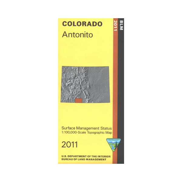
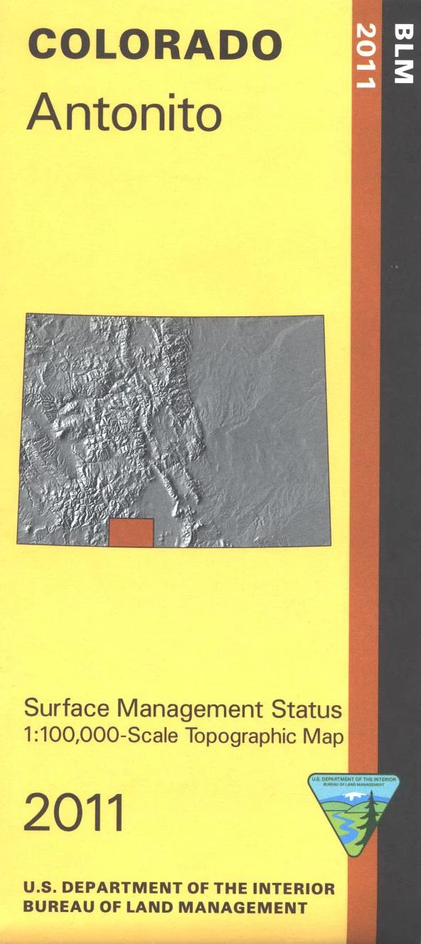
Map: Antonito CO - CO102S
Differentiates between public and private land, and also among the various agencies who manage the public lands. Visit the San Juan National Forest, Rio Grande National Forest and the South San Juan Wilderness, which include a section of the Continental Divide National Scenic Trail. See the spectacular and famous Wolf Creek Pass. Ride the Cumbres & Toltec Scenic Railroad (narrow gauge). Enjoy camping, hiking, horseback riding, scenic driving, and fishing. Map is useful for OHV use and Colorado Hunting Units 78,80, and 81. The BLM quadrant maps are scaled at 1:100,000, and cover an area of about 30 x 50 miles; topographic contours included. 2011
Product Information
Product Information
Shipping & Returns
Shipping & Returns
Description
Differentiates between public and private land, and also among the various agencies who manage the public lands. Visit the San Juan National Forest, Rio Grande National Forest and the South San Juan Wilderness, which include a section of the Continental Divide National Scenic Trail. See the spectacular and famous Wolf Creek Pass. Ride the Cumbres & Toltec Scenic Railroad (narrow gauge). Enjoy camping, hiking, horseback riding, scenic driving, and fishing. Map is useful for OHV use and Colorado Hunting Units 78,80, and 81. The BLM quadrant maps are scaled at 1:100,000, and cover an area of about 30 x 50 miles; topographic contours included. 2011


