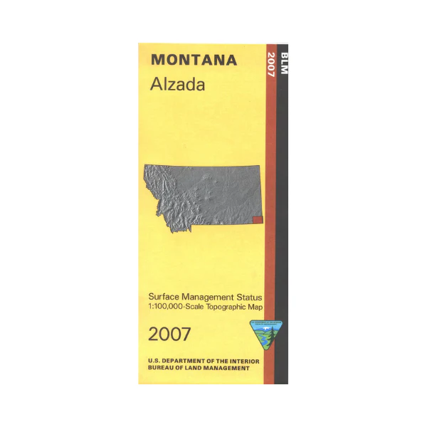
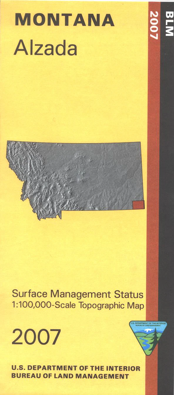
Map: Alzada MT - MT1005S
Official Bureau of Land Management metric topographic map
@1:100,000 scale (roughly 3/4"`1 mile), color-coded to show surface
management, i.e. agency vs. private or tribal ownership. This map shows color coded public and private
ownership, topographic detail, roads, water features, points of interest and the township and range lines. Map covers lands from the South Dakota border west to just past Hammond MT, and Alzada north to Ridgway. Explore numerous sections of BLM lands. Use this map for OHV use, and hunting Mountain Lion, Antelope, Deer, and Elk in Unit 705. 2007
Original: $8.99
-65%$8.99
$3.15Product Information
Product Information
Shipping & Returns
Shipping & Returns
Description
Official Bureau of Land Management metric topographic map
@1:100,000 scale (roughly 3/4"`1 mile), color-coded to show surface
management, i.e. agency vs. private or tribal ownership. This map shows color coded public and private
ownership, topographic detail, roads, water features, points of interest and the township and range lines. Map covers lands from the South Dakota border west to just past Hammond MT, and Alzada north to Ridgway. Explore numerous sections of BLM lands. Use this map for OHV use, and hunting Mountain Lion, Antelope, Deer, and Elk in Unit 705. 2007


