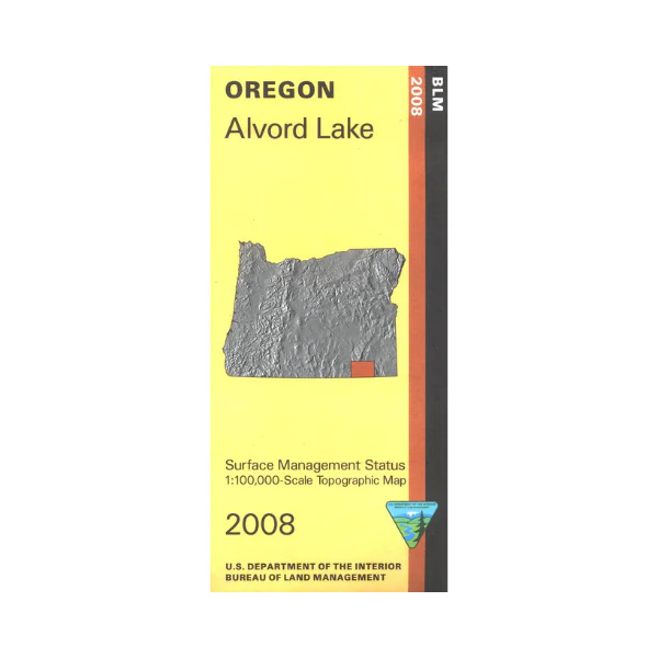
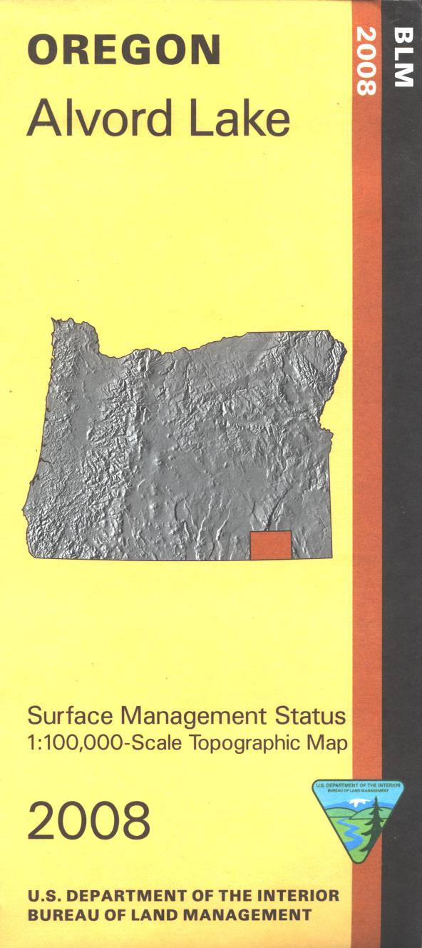
Map: Alvord Lake OR - OR002S
Map shows expansive remote BLM lands from Oregon Canyon Mountains west to Lone Mountain and includes Steens Mountain west of Alvord Lake. Official Bureau of Land Management metric topographic map @1:100,000 scale (roughly 3/4"`1 mile), color-coded to show surface management, i.e. agency vs. private or tribal ownership. This map shows roads, water features, points of interest, and the township and range lines. Map is useful for OR Hunting Units 68 and 70. 2008
Original: $8.99
-65%$8.99
$3.15Product Information
Product Information
Shipping & Returns
Shipping & Returns
Description
Map shows expansive remote BLM lands from Oregon Canyon Mountains west to Lone Mountain and includes Steens Mountain west of Alvord Lake. Official Bureau of Land Management metric topographic map @1:100,000 scale (roughly 3/4"`1 mile), color-coded to show surface management, i.e. agency vs. private or tribal ownership. This map shows roads, water features, points of interest, and the township and range lines. Map is useful for OR Hunting Units 68 and 70. 2008


