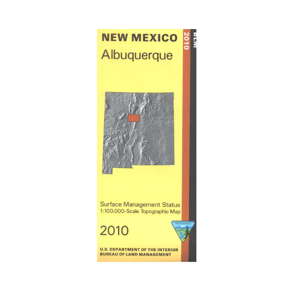
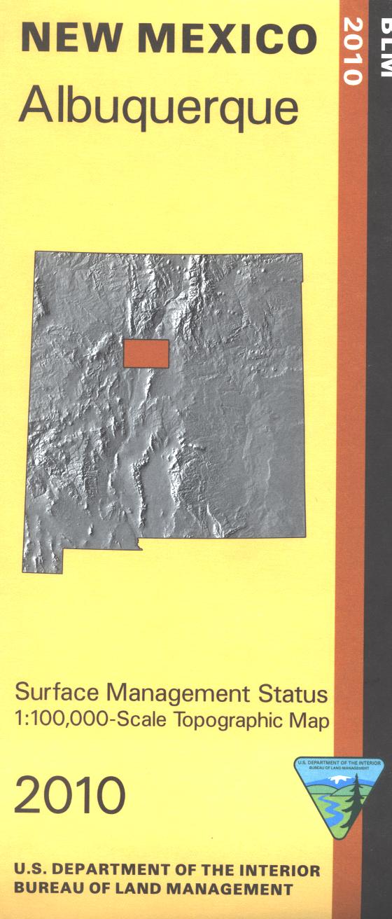
Map: Albuquerque NM - NM005S
Official Bureau of Land Management metric topographic map @1:100,000 scale (roughly 3/4"=1 mile), color-coded to show Surface Management/ownership. Includes roads and lands in Sandoval, Bernalillo, Santa Fe, Torrance Counties; Hunting Units 8, 9, 6, 14; Cibola National Forest. Picnicking, camping, and hiking in Cibola National Forest. Visit Petroglyph National Monument, Albuquerque's open space areas for hiking and biking, and Rio Grande State Park along the river. Scenic drive the Sandia Crest Road for amazing views of the city below. 2017
Original: $8.99
-65%$8.99
$3.15Product Information
Product Information
Shipping & Returns
Shipping & Returns
Description
Official Bureau of Land Management metric topographic map @1:100,000 scale (roughly 3/4"=1 mile), color-coded to show Surface Management/ownership. Includes roads and lands in Sandoval, Bernalillo, Santa Fe, Torrance Counties; Hunting Units 8, 9, 6, 14; Cibola National Forest. Picnicking, camping, and hiking in Cibola National Forest. Visit Petroglyph National Monument, Albuquerque's open space areas for hiking and biking, and Rio Grande State Park along the river. Scenic drive the Sandia Crest Road for amazing views of the city below. 2017


