Map: Alamosa CO (MINERAL) - CO101SMM
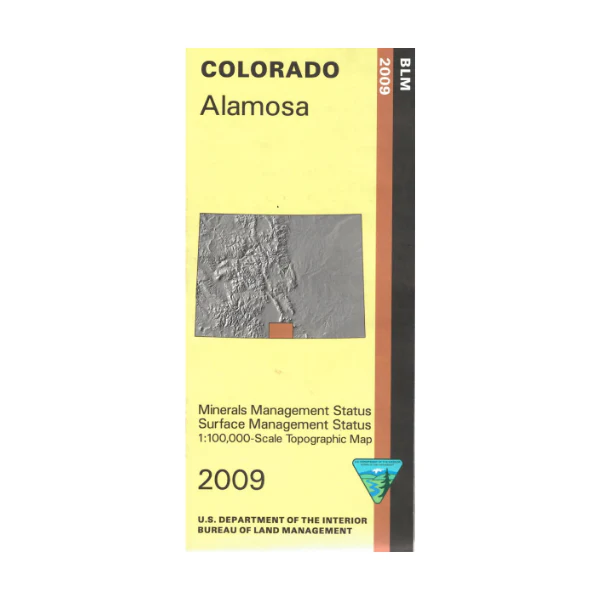
Differentiates between public and private land, and also among the various agencies who manage the public lands. Visit the San Isabel National Forest; section shown on map includes campgrounds, and roads.
This is a surface and mineral management map. There is an additional layer showing below-ground mineral rights on public lands.
Visit Alamosa National Wildlife Refuge on Rio Grande River. Colorado Hunting Units 80,81,83,85 and 851. The BLM quadrant maps are scaled at 1:100,000, and cover an area of about 30 x 50 miles, with topographic contours. 2009
Product Information
Product Information
Shipping & Returns
Shipping & Returns
Description
Differentiates between public and private land, and also among the various agencies who manage the public lands. Visit the San Isabel National Forest; section shown on map includes campgrounds, and roads.
This is a surface and mineral management map. There is an additional layer showing below-ground mineral rights on public lands.
Visit Alamosa National Wildlife Refuge on Rio Grande River. Colorado Hunting Units 80,81,83,85 and 851. The BLM quadrant maps are scaled at 1:100,000, and cover an area of about 30 x 50 miles, with topographic contours. 2009


